|
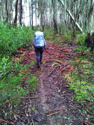
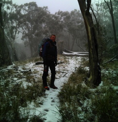
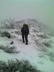
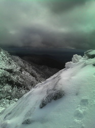
Last weekend Shanny and I headed up to climb the West Ridge of Mt Buller. Considered one of very few places in Victoria with challenging (for Australia) mountaineering we wanted to check it out.
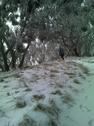
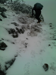
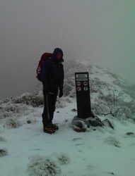
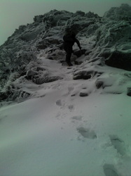
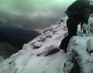
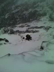
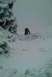
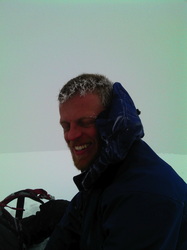
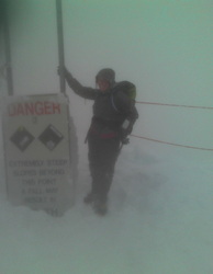
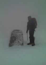
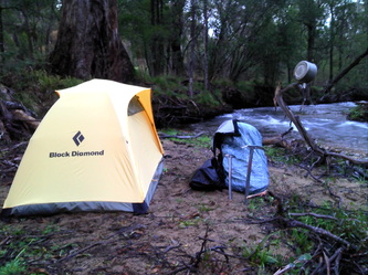
We headed south onto Doughty’s Road and eventually (after a kilometre or two walking in the wrong direction and then back tracking) found the track that heads onto Bullers West Ridge. Visibility was mostly very poor but with our new Garmin GPSMAP62SC we were able to navigate fairly easily even when we couldn't see far in front of our own feet. On a couple of steep pitches there were some more icy sections that made things a bit more exciting and the tops narrow summit was scary at times with a super strong wind threatening to blow us off the ridge… Eventually we walked on through the ski fields down to the Village. By the time we got there the temperature had dropped dramatically to -6 and Shanny was starting to lose it. I was trying to help her get her second pair of gloves on but her fingers weren't working properly and we couldn't get one of the gloves on. After a few tears we eventually got a bus back down to the base and in the moonlit night we found a nice spot by the river to camp. Some warm food in our bellies, a super quick wash in the cold stream and we dashed into our sleeping bags and warm and content, quickly drifted off to sleep, only to begin dreaming that we were still stuck out on the ridge in a white out, unable to figure out which way was up or which way was down… Here's a link to some great info about the West Ridge: http://wikiski.com/wiki/index.php/Hiking_notes#Mt_Buller.27s_West_Ridge_in_winter
2 Comments
8/30/2012 09:04:17 am
Great pics mate, looked a little colder than Bogong. Love the sign post Shanni is standing beside...
Reply
John Belanger
8/30/2012 09:05:20 am
Sorry Shanna..... Got my spelling wrong
Reply
Leave a Reply. |
Hiking blogSome thoughts and pictures from some of the hikes we've done. Archives
May 2020
Categories
All
|
 RSS Feed
