|
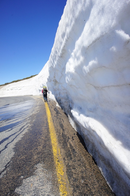
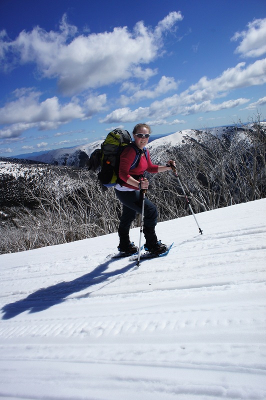
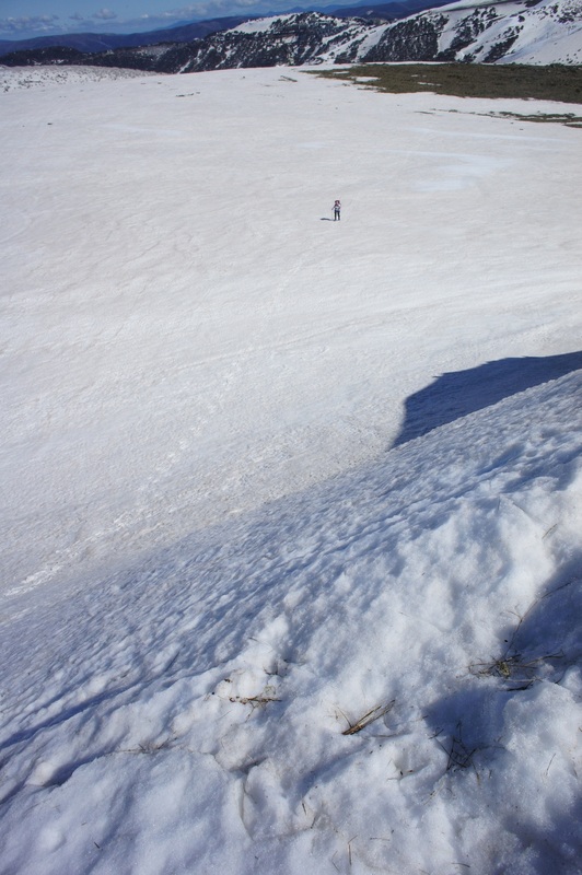
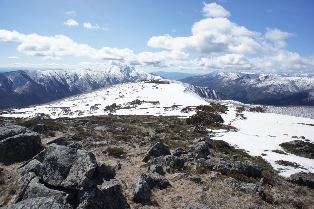
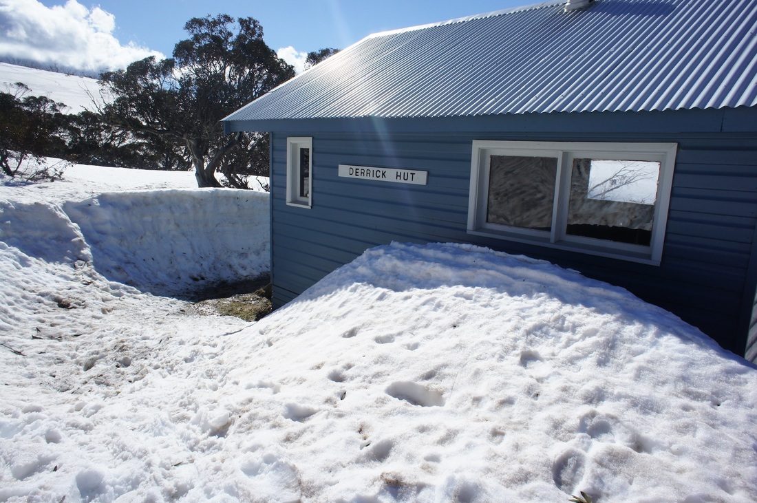
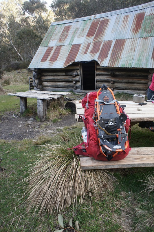
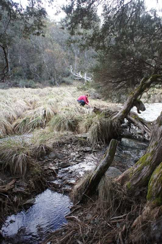
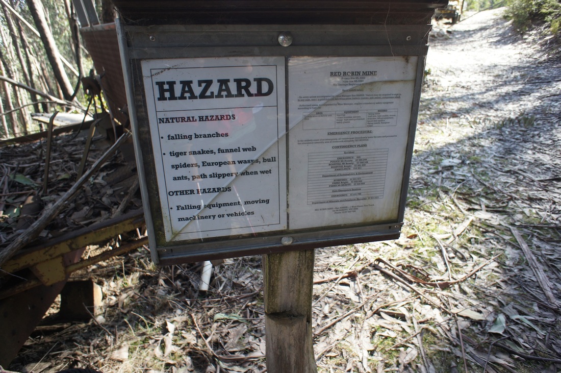
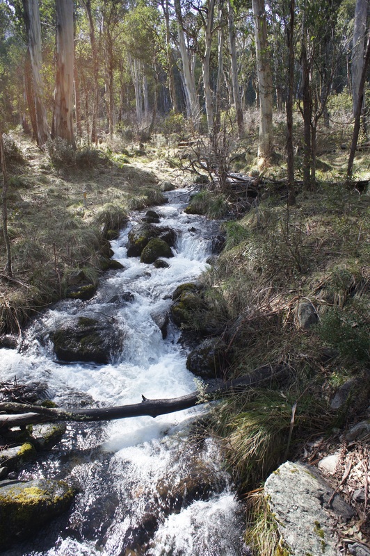
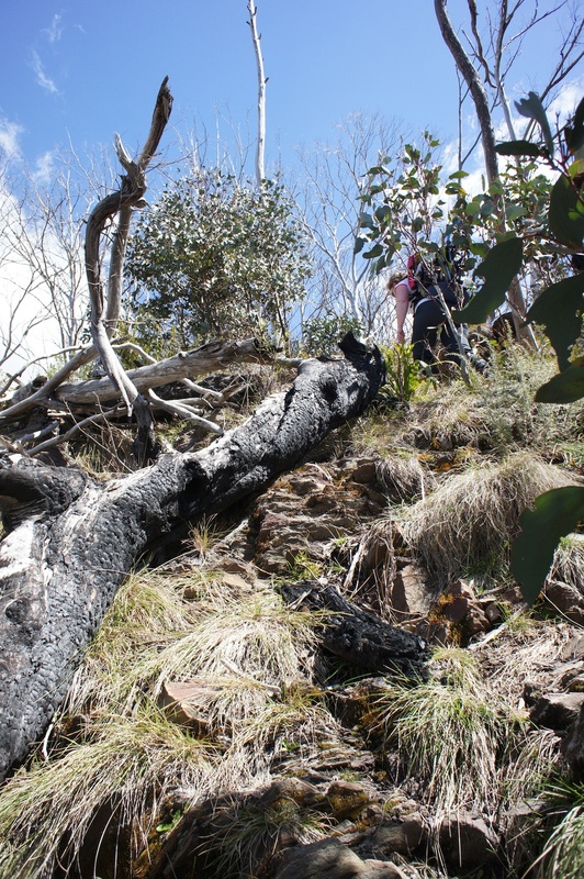
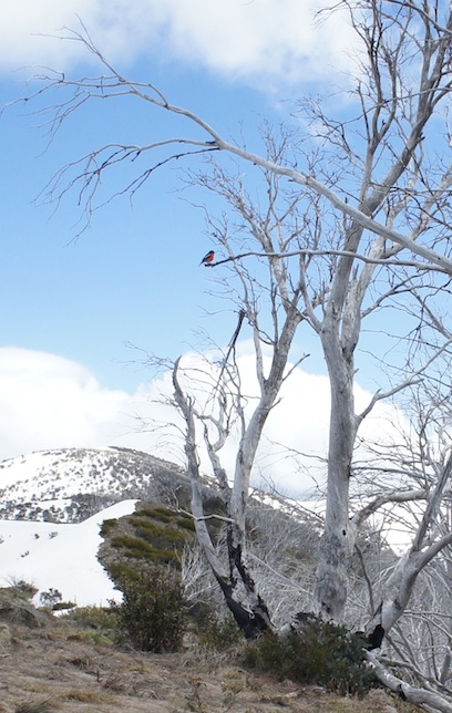
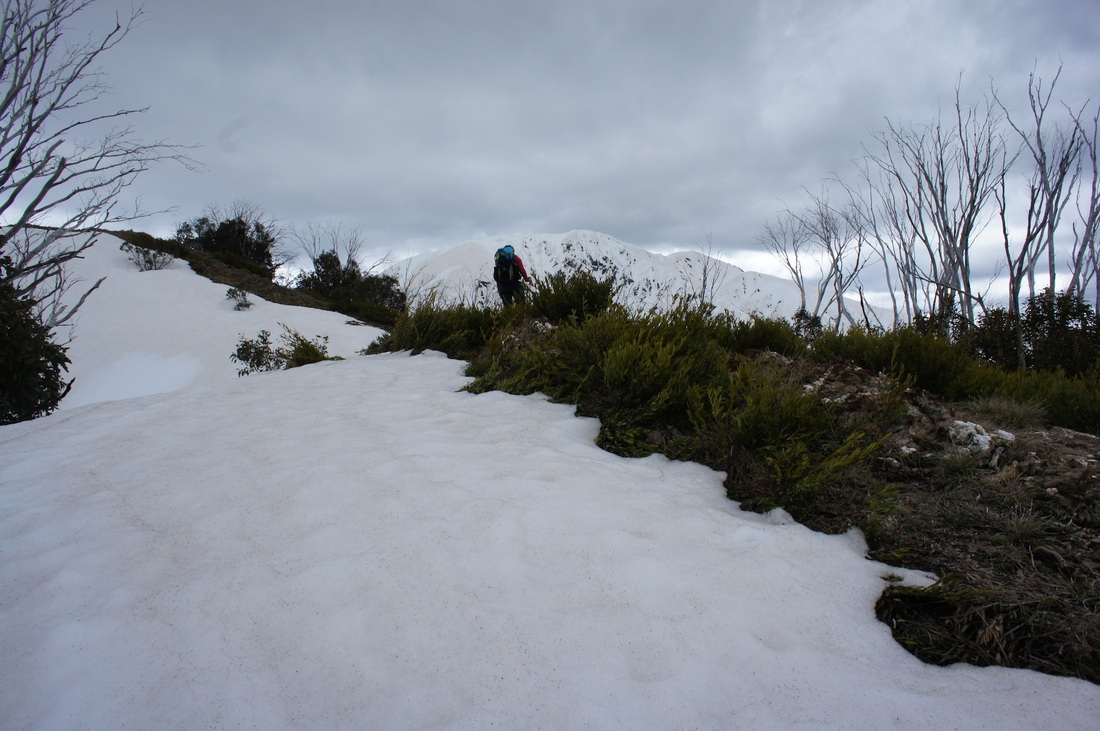
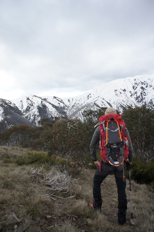
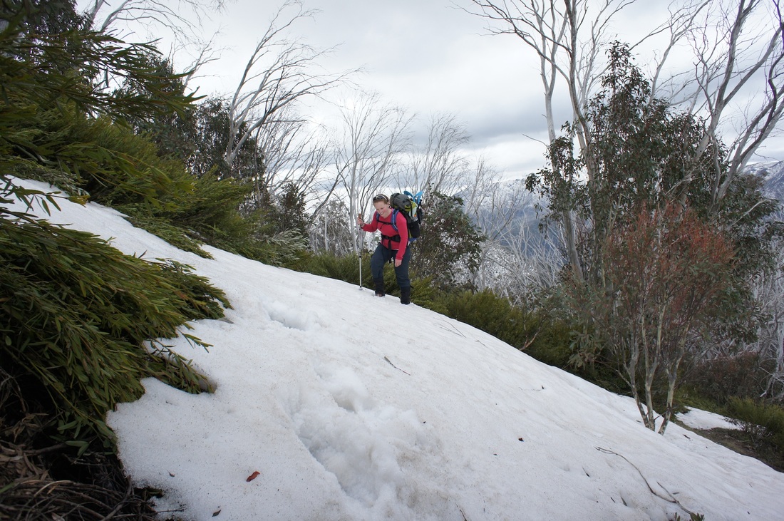
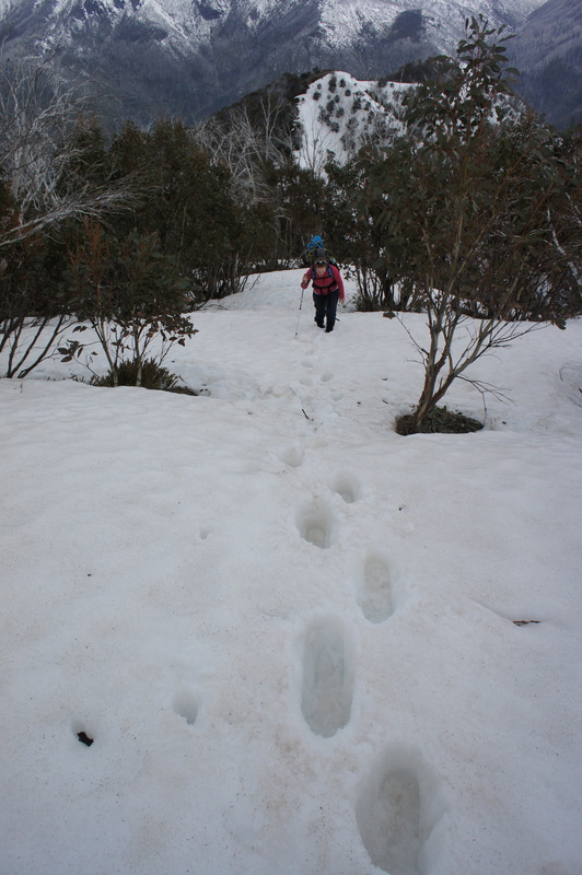
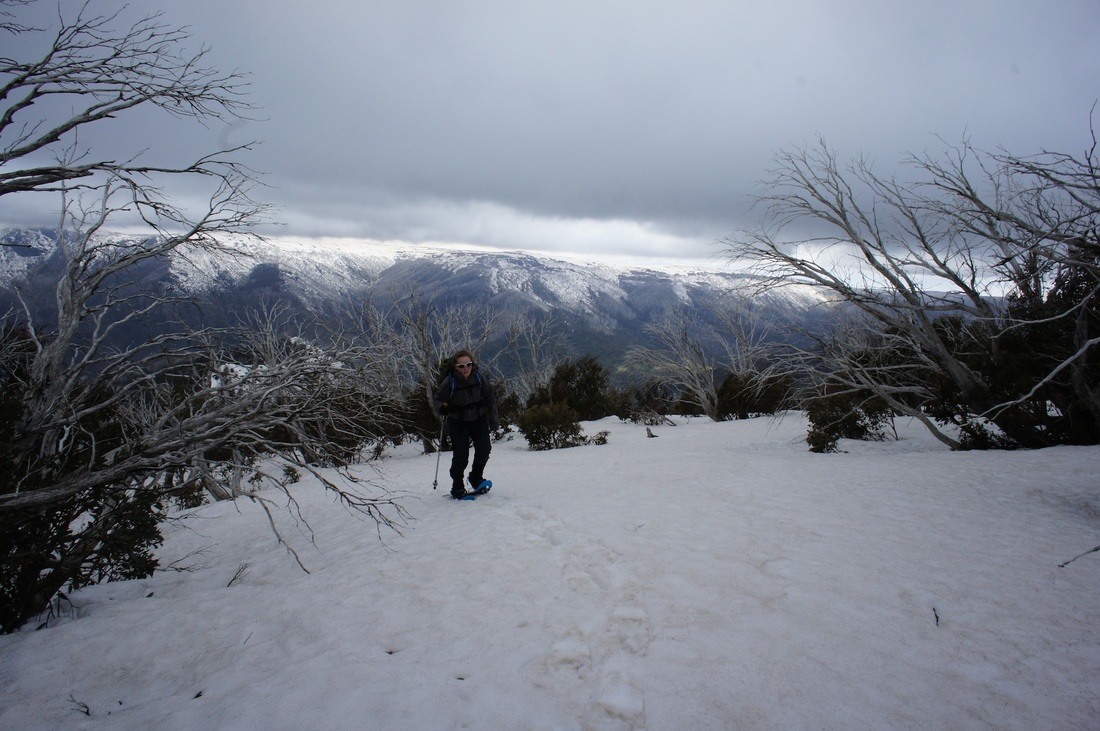
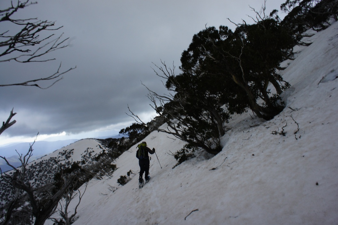
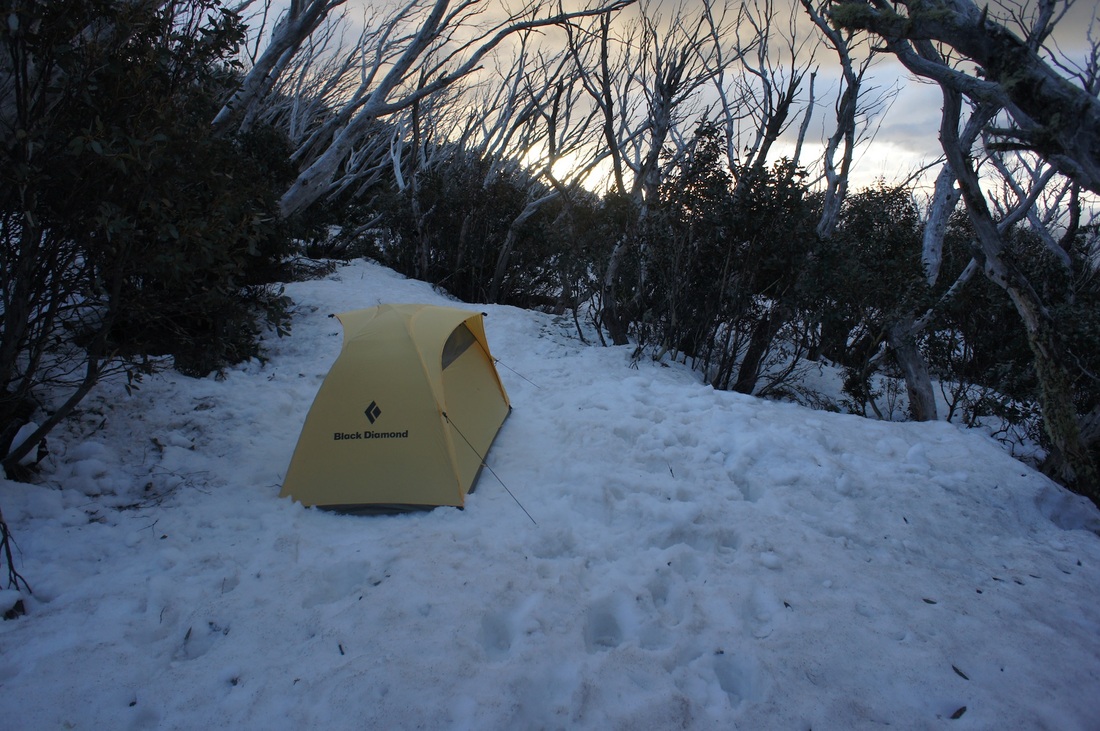
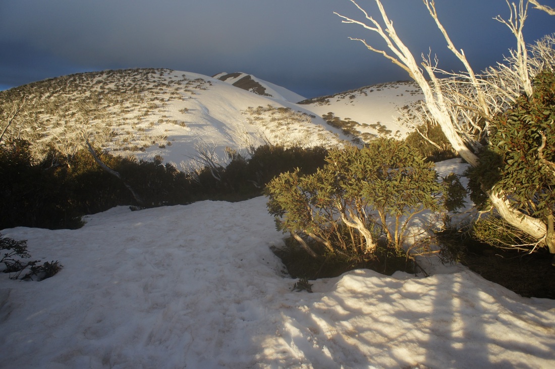
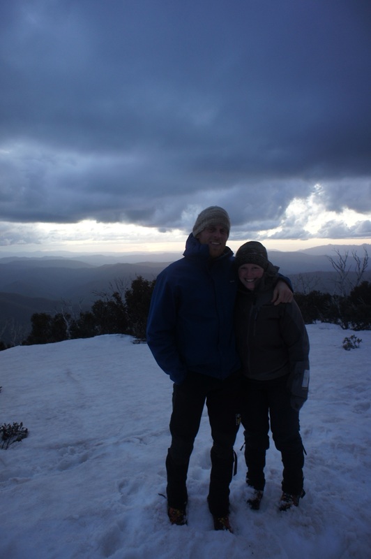
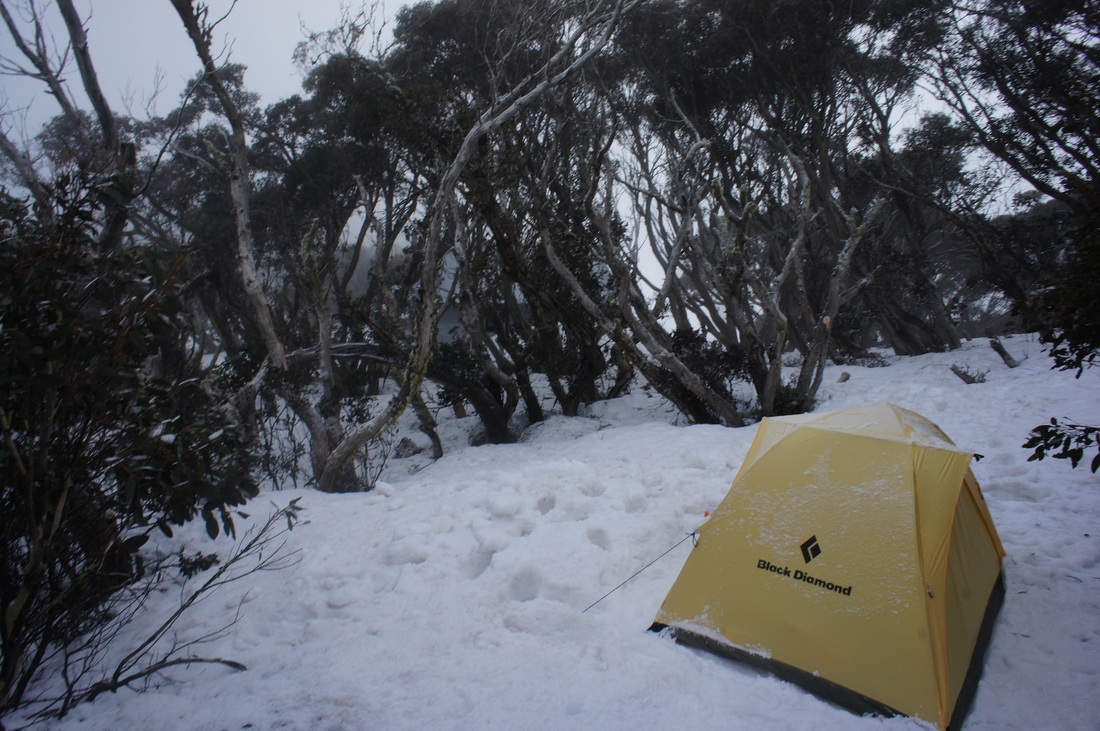
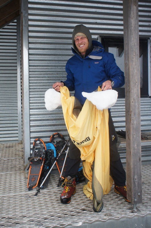
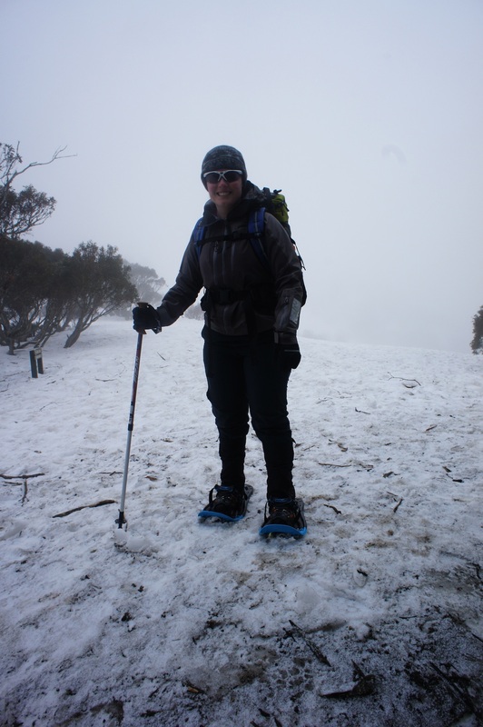
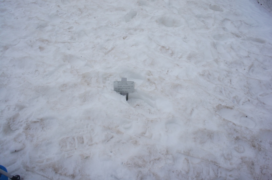
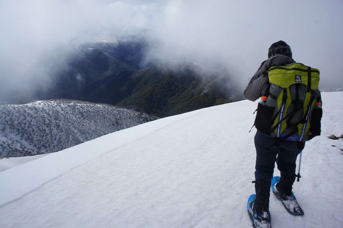
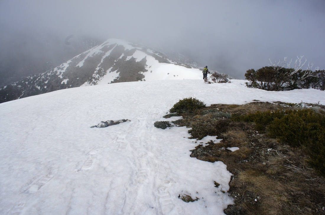
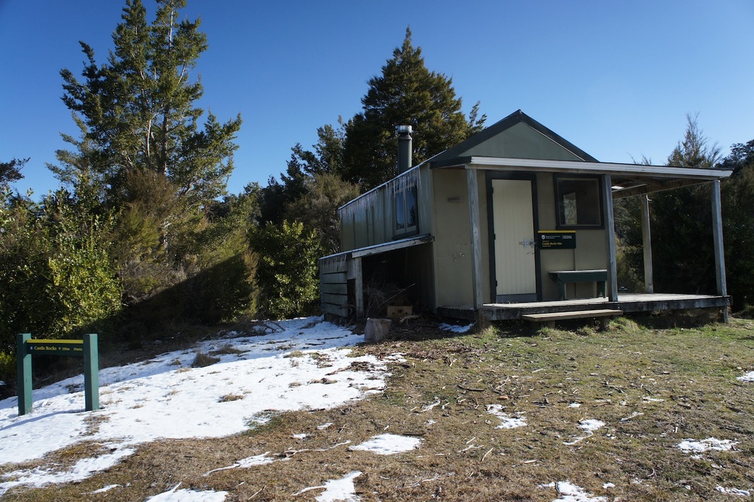
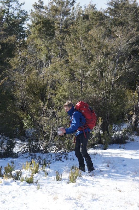
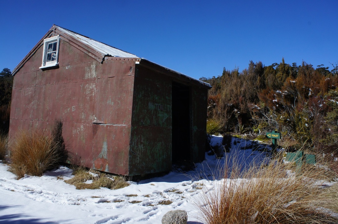
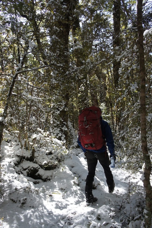
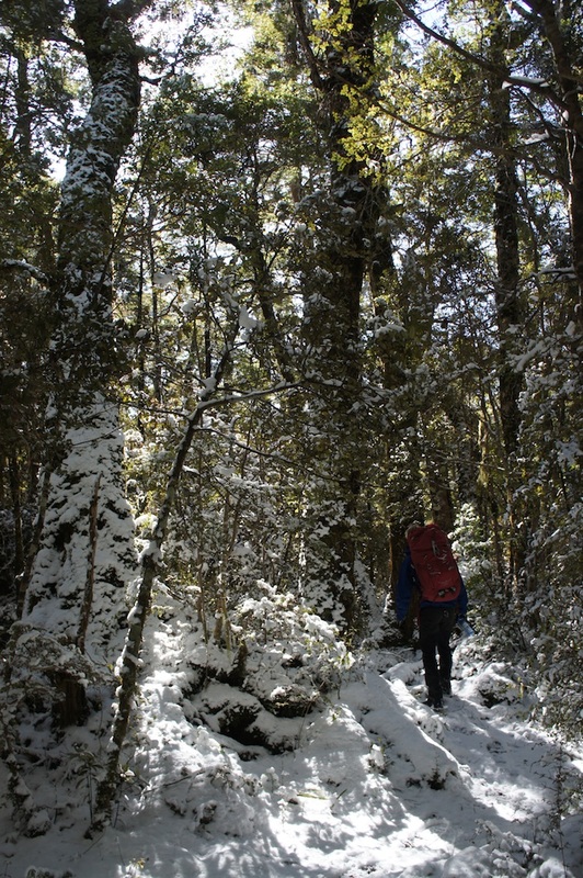
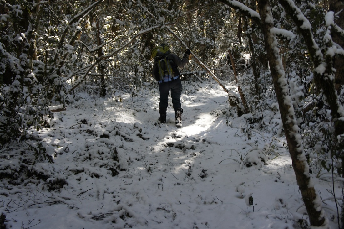
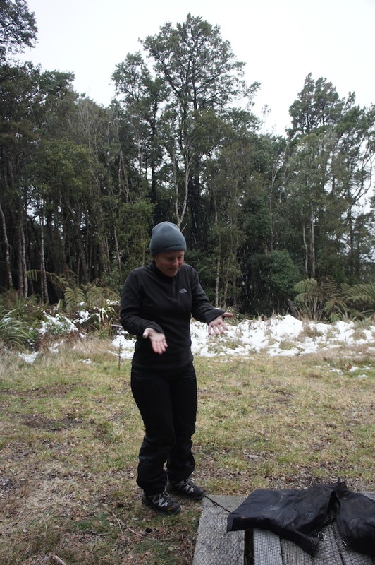
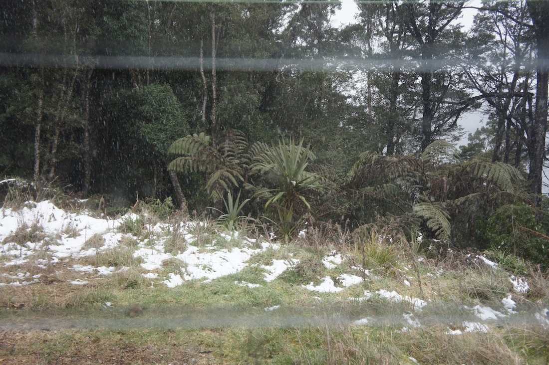
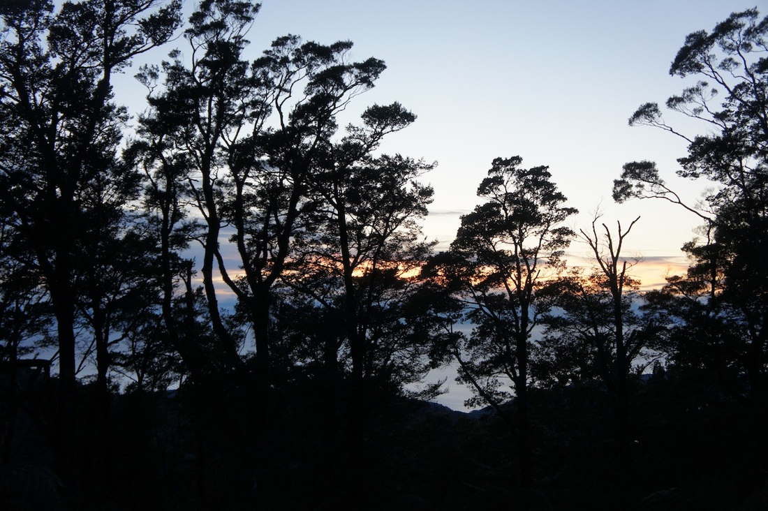
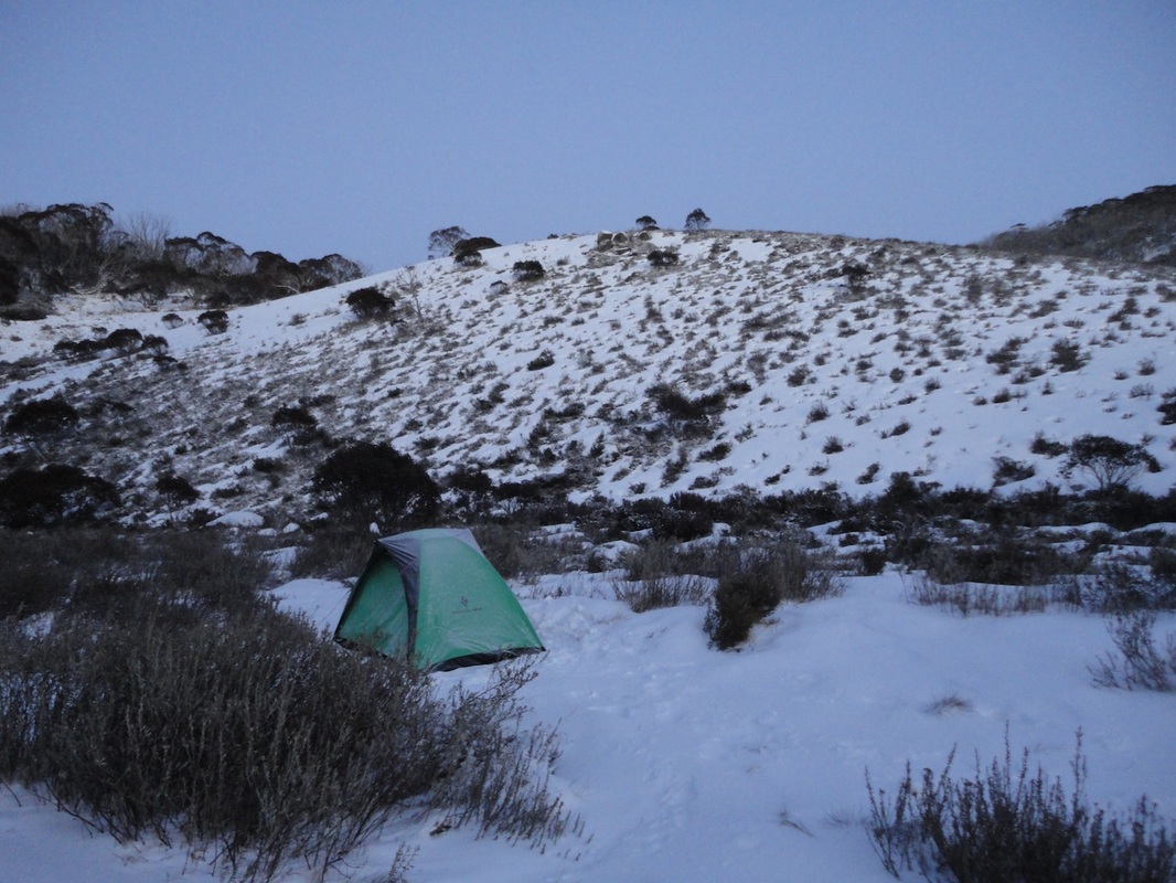
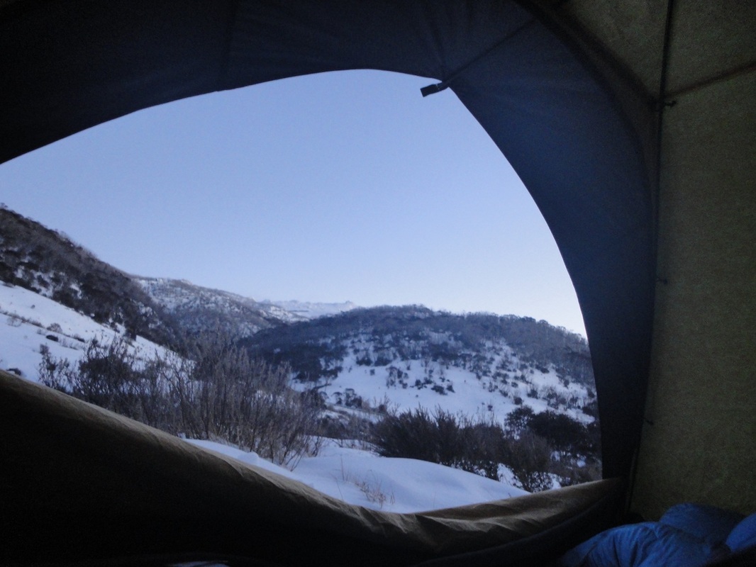
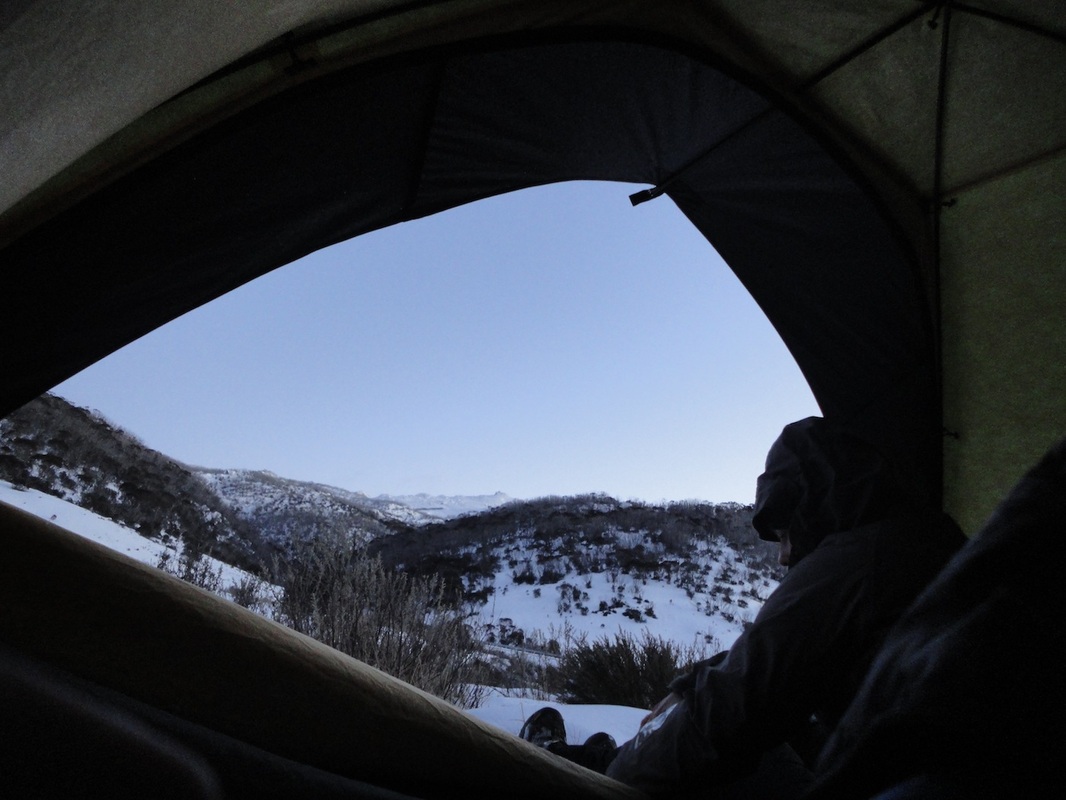
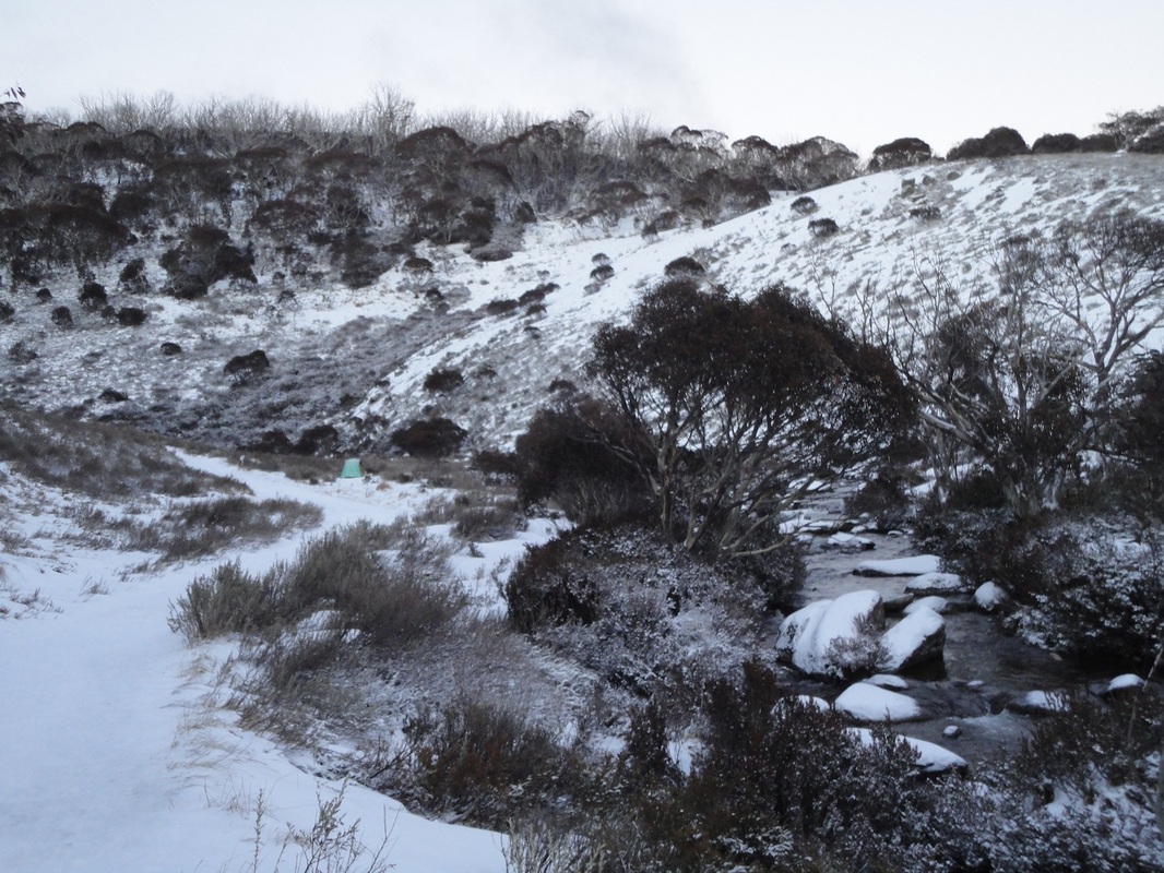
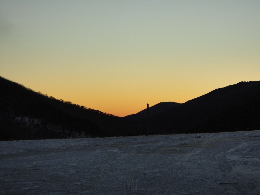
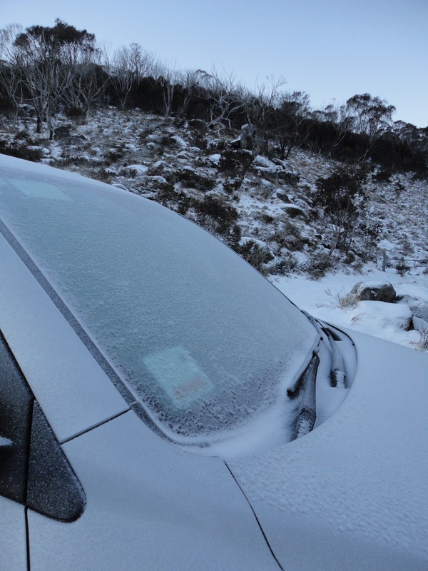
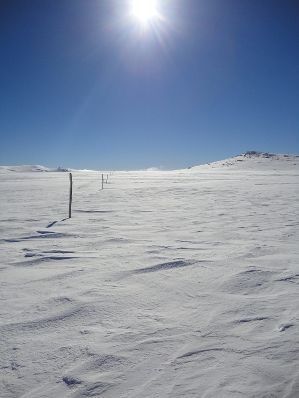
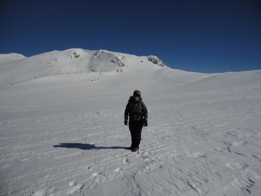
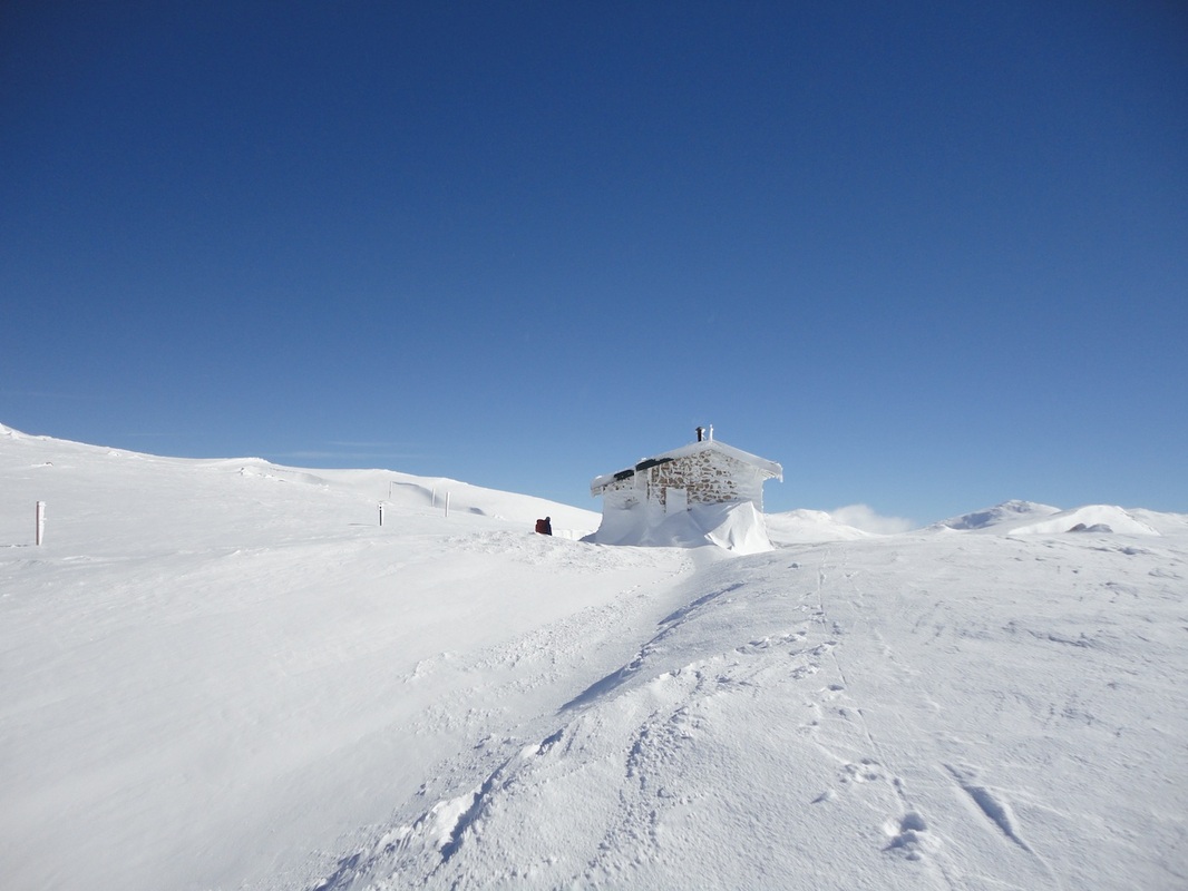
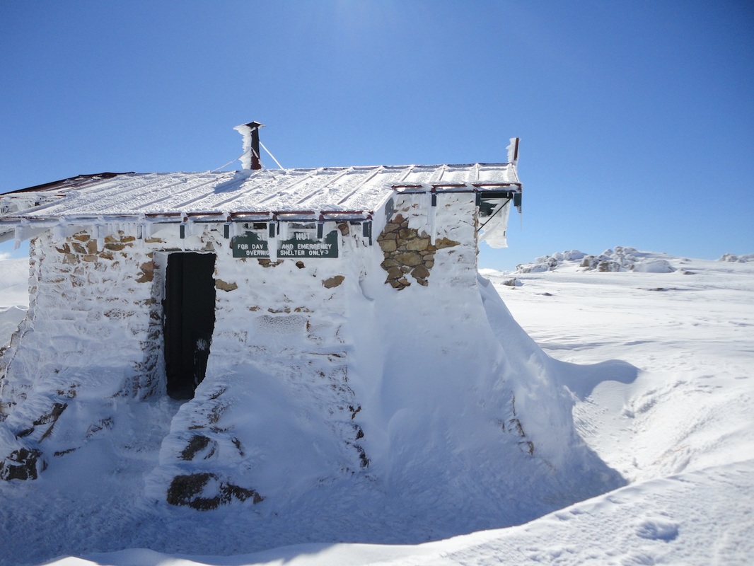
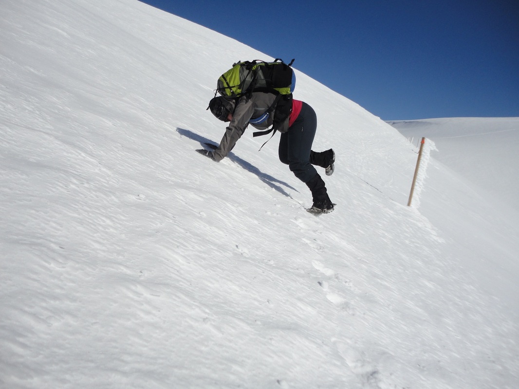
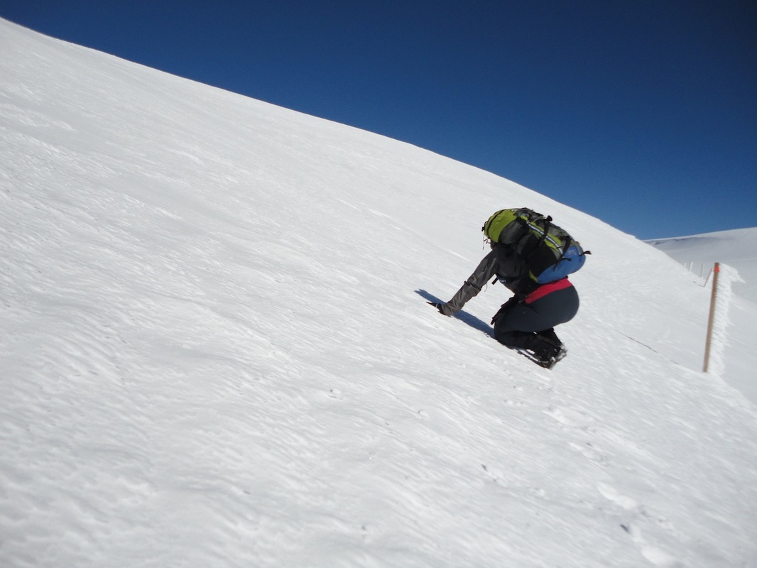
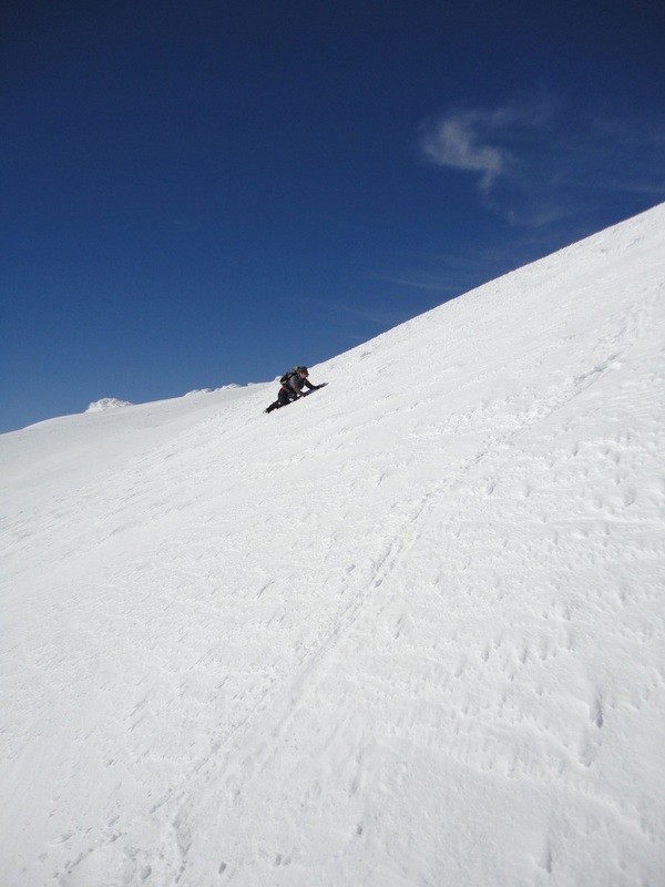
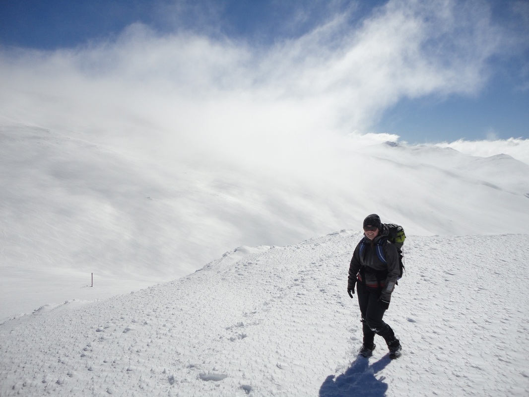
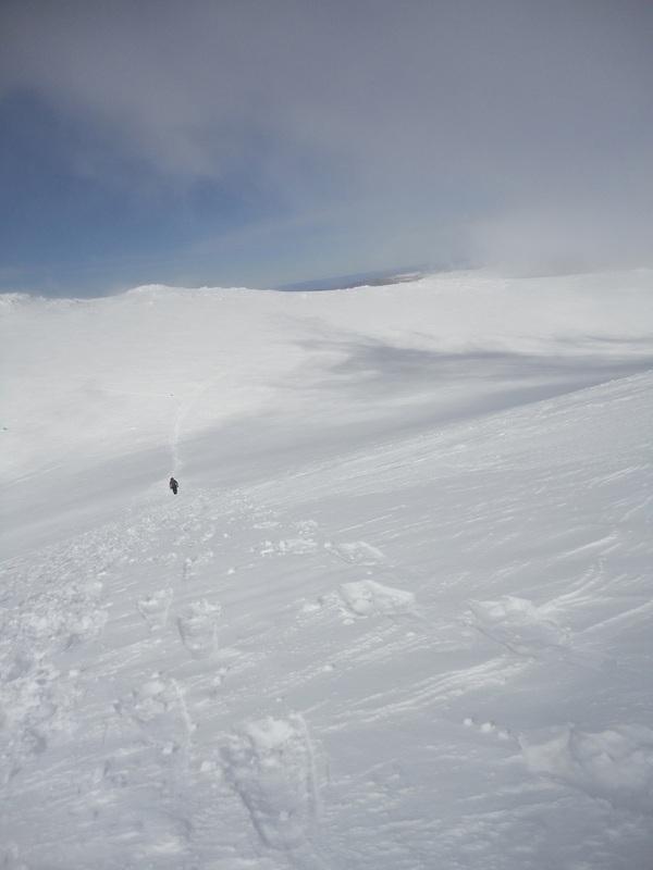
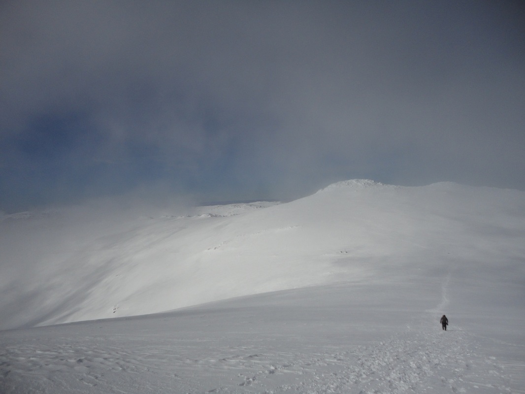
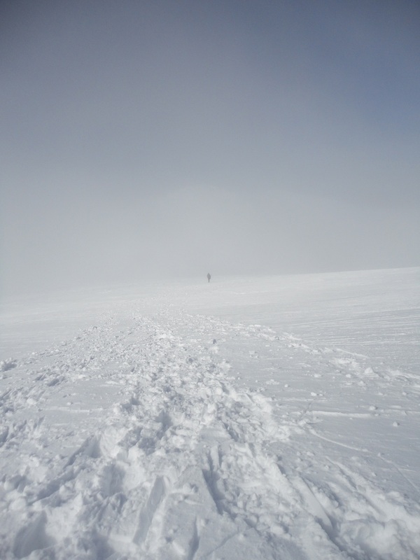
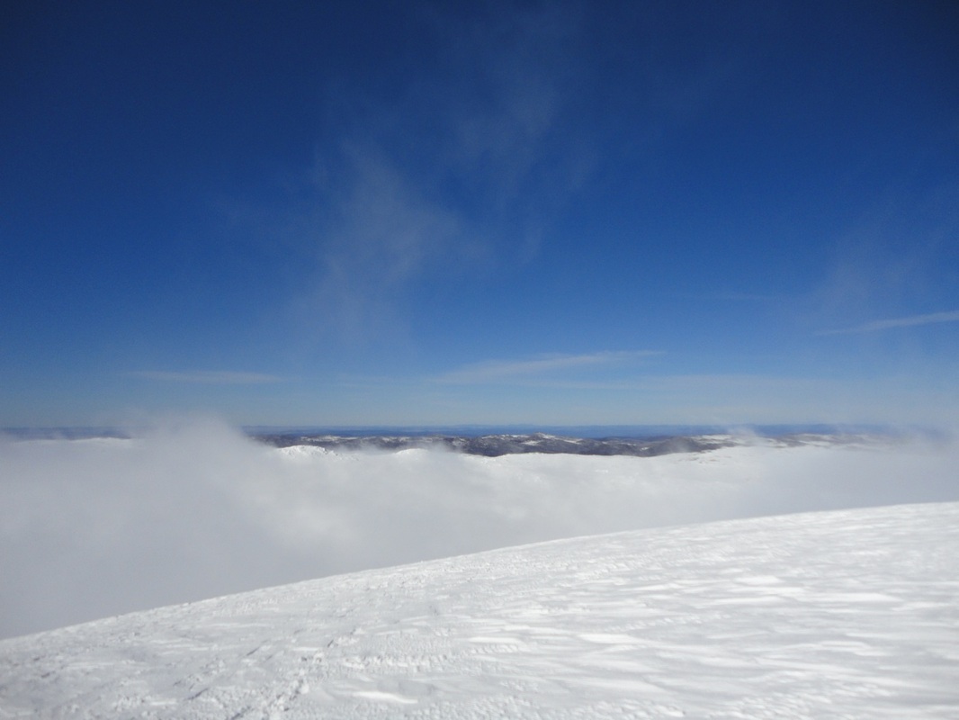
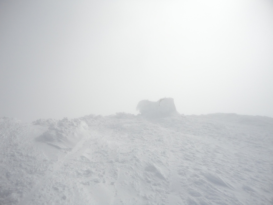
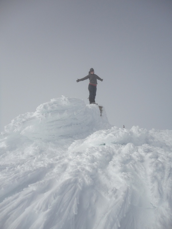
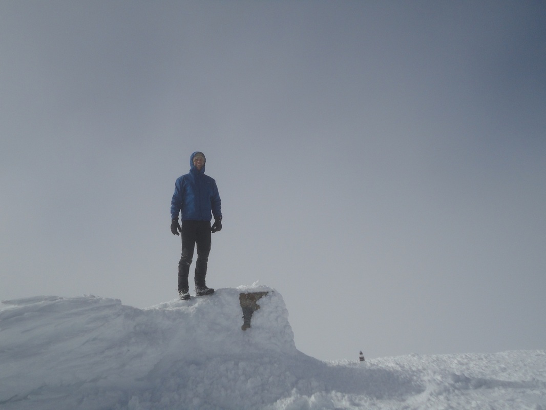
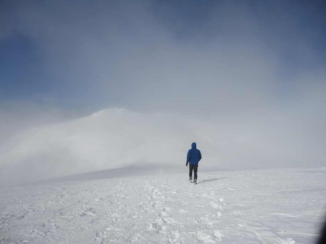
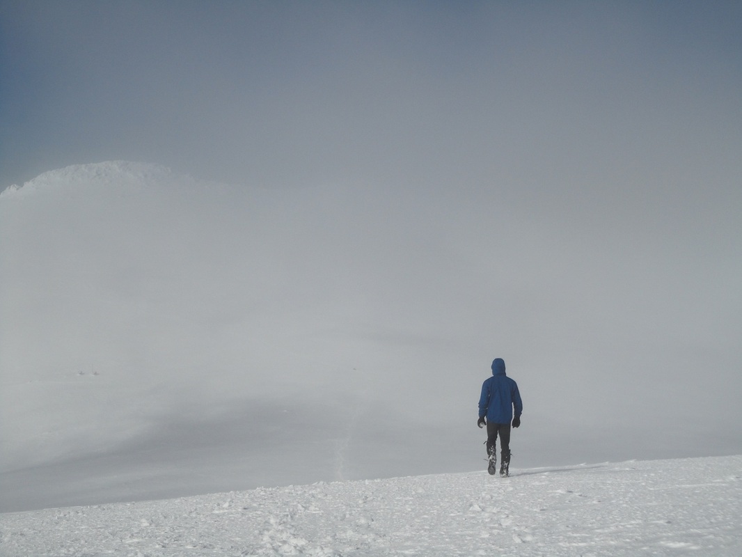
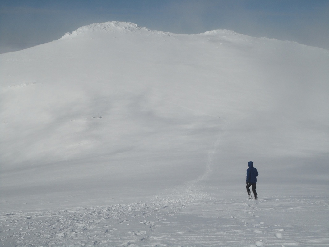
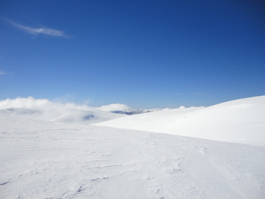
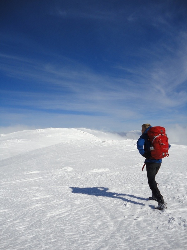
Last weekend (22-24 September) we decided to do a circuit from Mt Hotham (Mt Loch carpark) to Mt Feathertop via the Diamantina Spur, then back out on the Razorback Ridge. Around lunch time on Saturday we parked the car at the Diamontina Hut on the main road so when we walked out on Razorback Ridge we could just jump in the car and leave. It meant we had to walk a bit along the road to the Mt Loch carpark but we'd rather walk the extra distance on the first day! Driving up the Great Alpine Road we could see that snow looked surprisingly sparse on the mountains and we thought our plans of getting in one last snow shoe hike for the season were too late. We left the snow shoes in the car and walked to the starting point. When we arrived some cross country skiers had other ideas. "I hope you've got snow shoes." "It's very soft out there - you'll be sinking without snow shoes." "You'll ruin the track for us." We did a test walk and decided yes, we did need snow shoes. But the car was a couple of kilometres away. Luckily a couple of the skiers kindly drove Sam back to the car, waited for him to get the snow shoes out of the car, and then drove him back. It must have been about 1pm before we were finally ready to set off. I had never worn snow shoes before and getting them on the first time was a bit of a challenge. But once we got started I could immediately see how much easier they made walking on the soft snow! We were headed to Derrick Hut first, and went via Mt Loch. For me it was interesting to figure out that when there is snow and you have snow shoes, it doesn't matter so much where the path usually goes, just pick a path over the snow and head in the direction you want to go. We reached Derrick Hut around 3pm and decided to cook some food. Walking through the snow had been hard. The first kilometre or so of any hike is always difficult as you try to remember how you walk 45km over snow in three days with a heavy pack. The temperature was quite warm so we stripped off to t-shirts and fortunately had remembered the suncream because the sun was blazing down and reflecting off the snow around us. Sam used the toilet when we arrived (the dreaded parasites had returned...) at the hut but the door had blown off the little building, so I decided to find what I thought was a more private spot. We'd seen cross country skiers all morning so I was wary of being spotted, but had to go... Just as I was pulling up my pants I realised a couple we no more than 20 metres away from me... they weren't looking at me but had they already seen me? I leapt to my feet and ran back to Sam in the hut. Luckily the two people moved past the hut and didn't come in. After our meal we were back out in the snow headed for Dibbins Hut. We saw lots of beautiful little birds and after Derrick Hut we didn't see any other skiers. We started falling through the snow and finding the summer steps and soon enough the snow ran out and we found the rocks and steps to descend down to Dibbins Hut. We went down from about 1800m to 1300m and then we entered a beautiful clearing next to a river, and there was the hut. It was a mild afternoon and it felt good to wash in the river, set up the tent on some soft grass and cook food comfortably at a table. It was a pleasant evening of solitude and the stars were beautiful as we lay in the tent. We lay in the sun for an hour in the morning before getting up. We cooked breakfast and put our things to dry in the sun. It was another spectacular morning and our things were able to dry before packing up. The track went down further and soon enough we came to the Red Robbin Battery, an old mine where apparently a hermit lives in now. We didn't see him, but it was a little creepy to think of someone living in the middle of nowhere, fencing off an area right next to the path. The walk that morning was pleasant and fairly easy. But then we got to the Diamantina Spur, and it went straight up very, very quickly! The spur begins at just over 1000 meters elevation and takes you to the Razorback Track near Federation Hut. According to the signs and maps it's only about 4km long. We knew it would be hard, but didn't think it would take us too long... We climbed up the rocks, often scrambling, as we gained elevation slower than I would have liked. At one point I felt convinced we must have made it up to about 1600m but the reading was only 1350m! I was devastated! We kept climbing, and soon reached the ridge we had to walk along. Snow shoes went back on, the clouds came over and the temperature dropped dramatically. The warm sun was gone and we were back to alpine hiking. The walk along the ridge was still difficult, but we enjoyed spectacular views of Feathertop the whole time around. We stopped a couple of times to eat a museli bar and drink, but we decided not to cook until we reached Federation Hut. Slowly the elevation climbed, and finally we found ourselves on the razorback track. Surely the walk to the hut would be easy from here? At first it was straightforward. I was a little nervous walking on the ridge but the snow shoes dug in well to the snow. Then we came to a rise in the track. There were two sets of snow shoe tracks - one set went straight over the summit of the rise while the other set went to the side around the peak. We chose to go around. Boy I wish we'd gone straight over! Walking on an angle in snow shoes is very difficult and quite painful on the ankles. Not far into it we decided to take off our right snow shoe so we could handle the angle better, but then that foot was sinking in. The walk around to the hut looked so far. We were tired. So Sam decided it would be easier to follow yet another set of tracks - and go down a steep descent to a valley and back up the other side where we could see the hut, rather than go all the way around. He gave me the ice-axe, told me to slide down and use the axe to stop myself (self arrest) when I wanted. He slid off and moved quite fast. I was so scared, but thought it was better to stick with him. So I started sliding. I quickly gained speed and wanted to stop. I dug the axe in but didn't stop. My gloves were wet and slipping and the axe slipped out of my hands. I saw a bush to my left and dropped my walking pole and grabbed the bush for dear life. I was on the verge of cracking into hysteria, and when my feet couldn't get any traction and my hands almost lost their grip on the bush I almost cracked. Sam told me to pull it together and stay calm. He said I had to learn how to stop myself in case I did slip on some ice so we were practicing. And with that he was gone, sliding down the steep slope. I could see bushes strategically placed so I decided to slide from bush to bush. On one bush I got tangled and lost a snow shoe. I grabbed it and used it to help slow me down for the rest of the slide. When I got to the bottom Sam was laughing joyously as he described my face coming down as a 'look of death'. But I had made it. And now we just had to slog back up to the hut. As we neared the hut we could see other people were there. On the porch we met up with Tim, who Sam had hiked with at Bogong a couple of weeks earlier and his girlfriend Liv. There was also a third man who was leaving to summit feathertop when we arrived. We spend the afternoon talking to Tim and Liv about hiking adventures. We all watched the sunset over the beautiful mountains and enjoyed more talking by the fire in the hut after the sun had gone down. We packed up and said our goodbyes in the morning. Tim and Liv were heading down Bungalow Spur while we had to go back on the razorback. Sam and I had planned to go up Feathertop in the morning but there was no visibility and we were both tired, so we decided to just walk out. This time we walked over the snow peaks rather than trying to go around them. It was tiring going up and down so much, but it was more comfortable than going around. The snow shoes came on and off a few times when we hit sections of rock, and the track seemed to go on and on... but eventually the road, and our car were in sight. I trudged through the final kilometre afraid I would never make it. Funny how the final few steps are often the hardest...
2 Comments
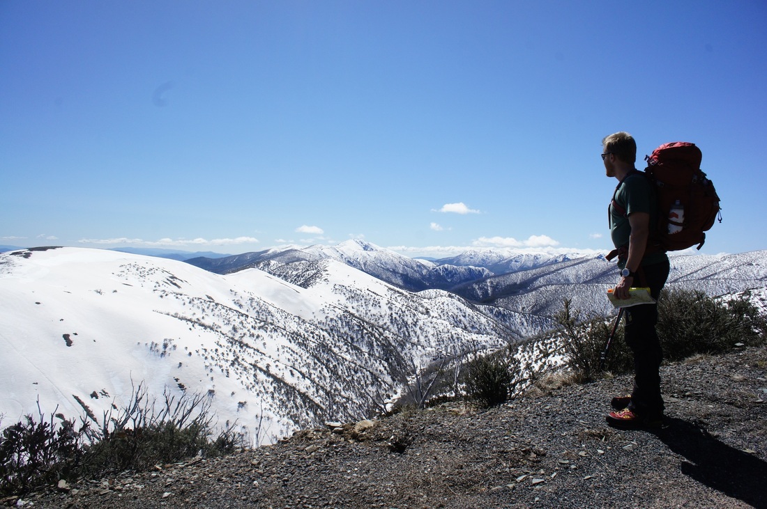
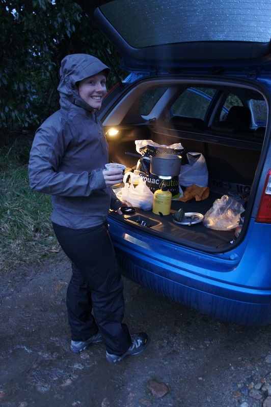
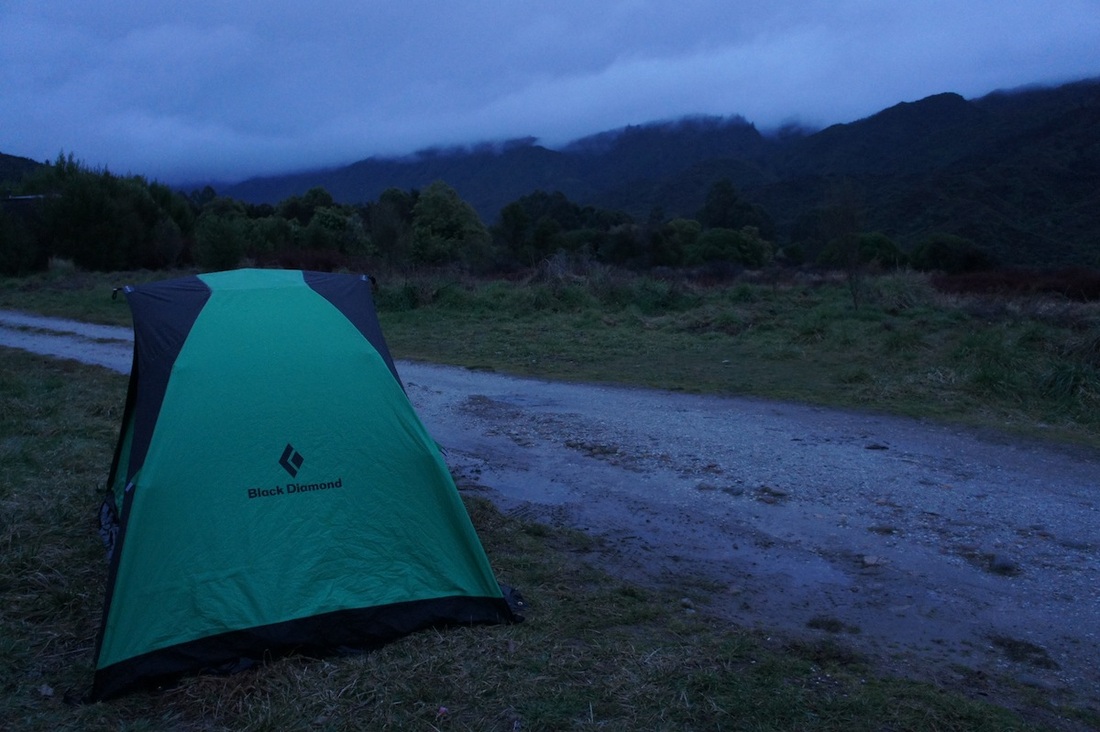
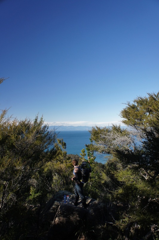
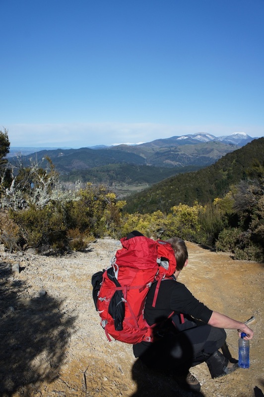
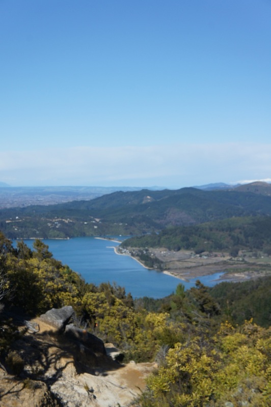
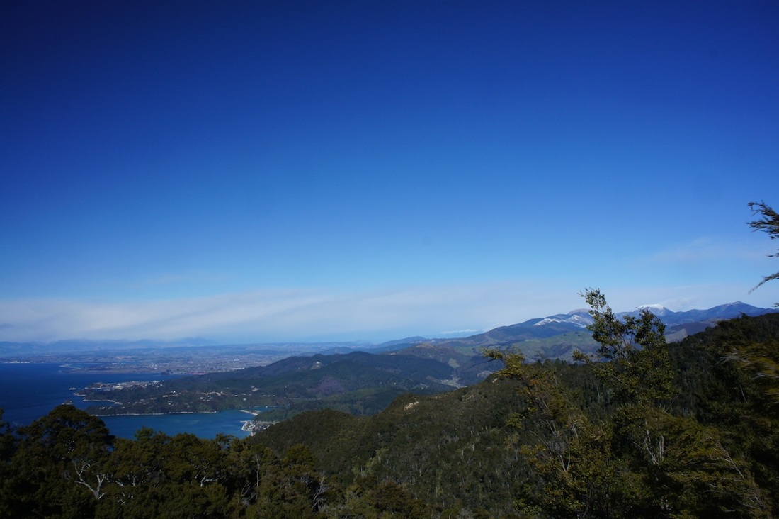
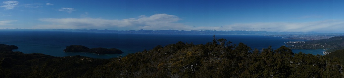
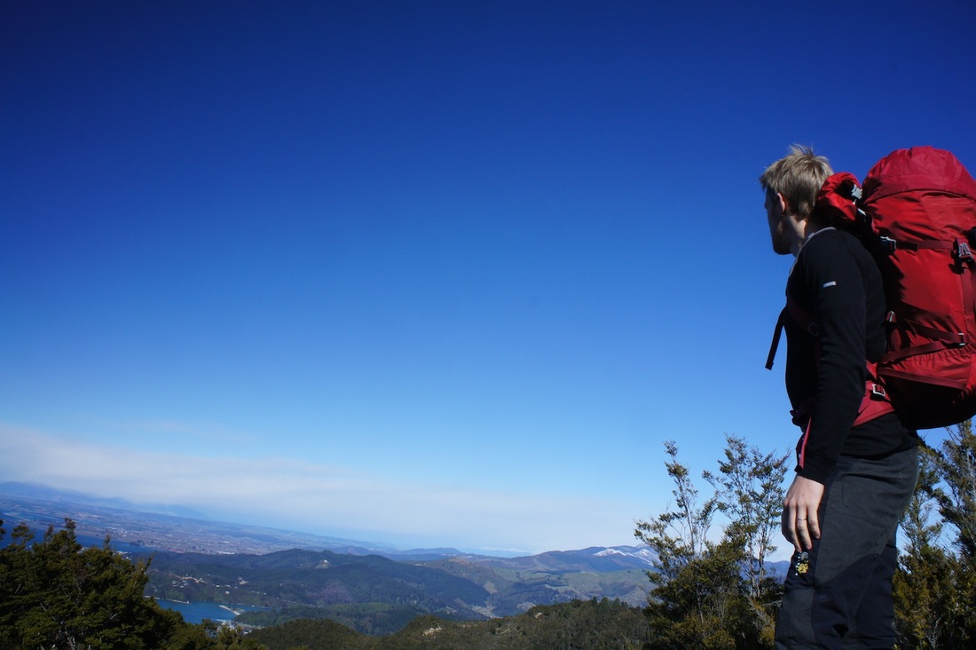
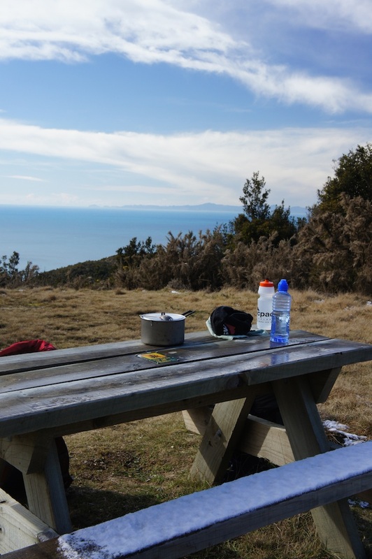
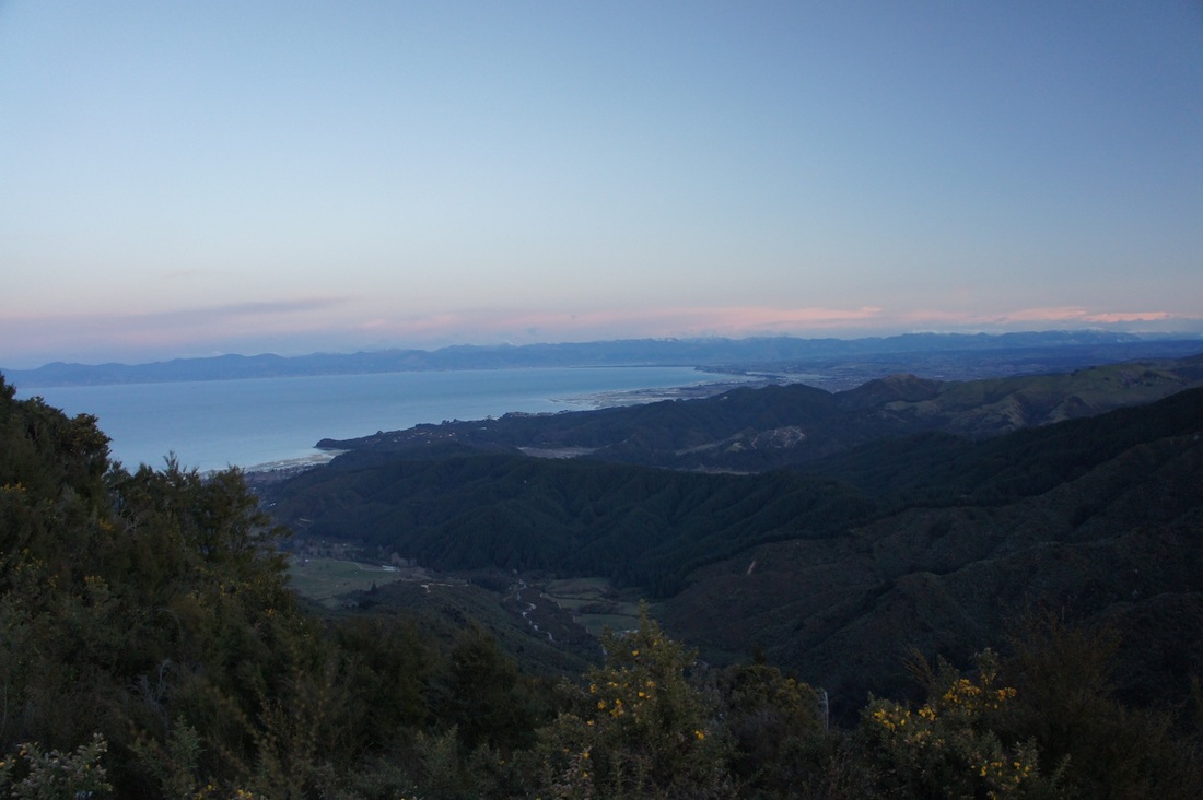
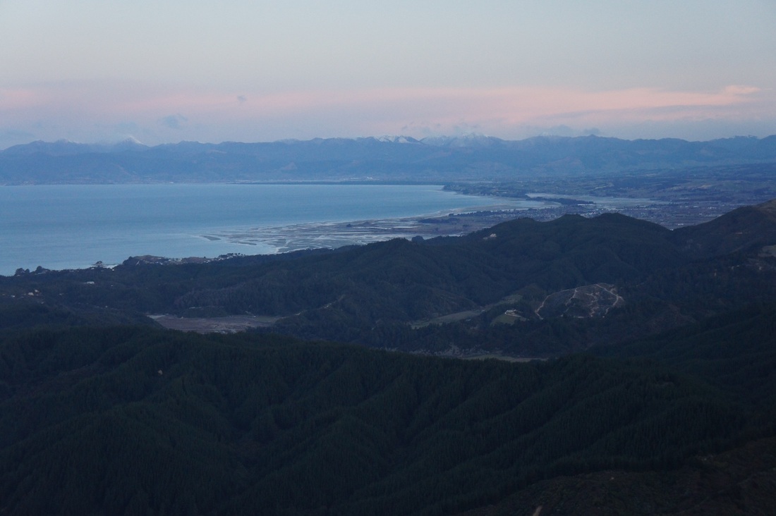
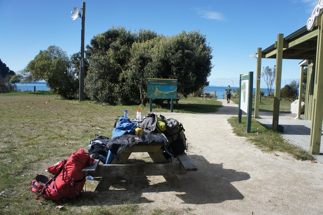
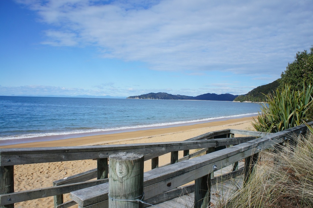
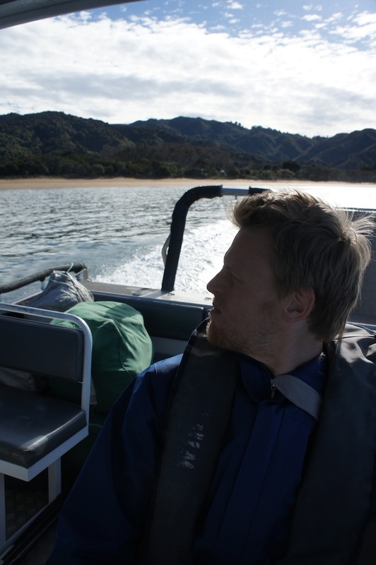
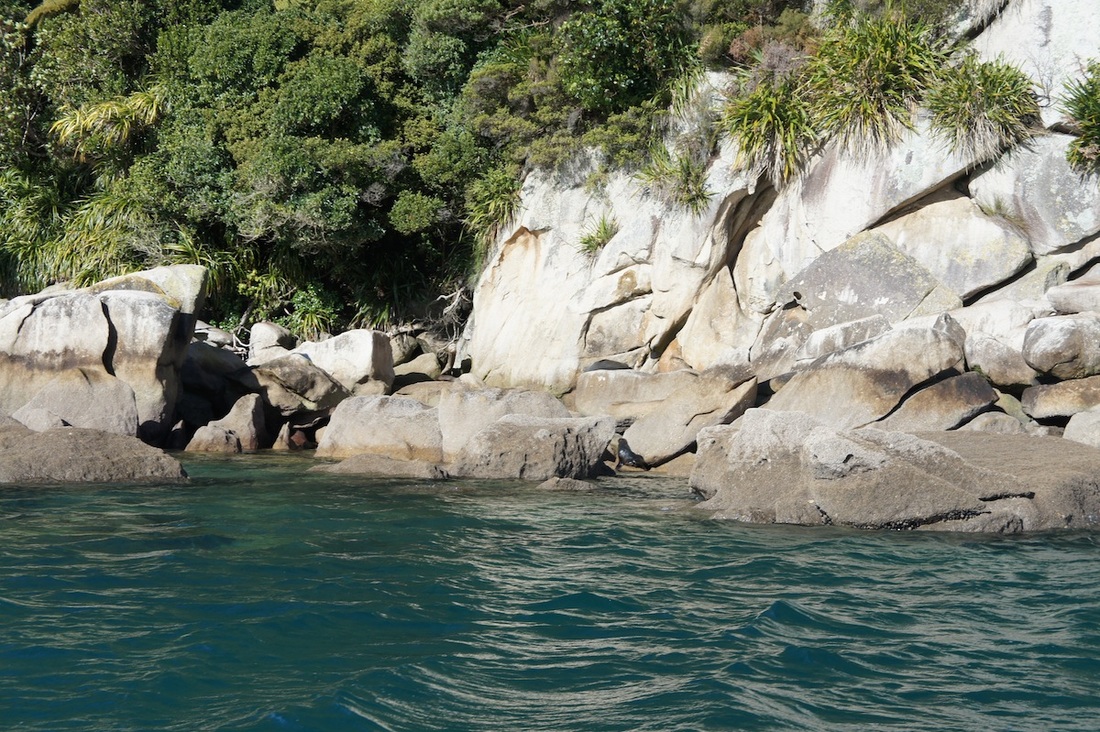
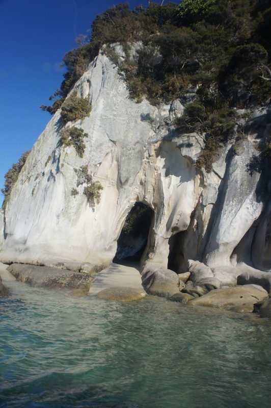
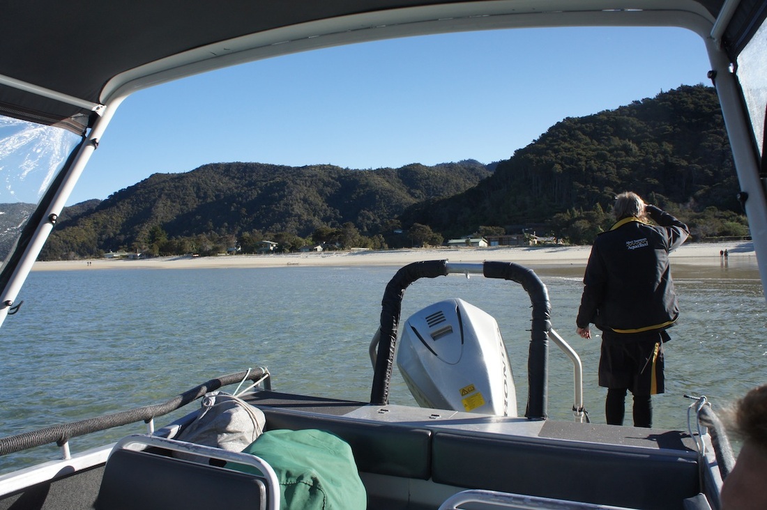
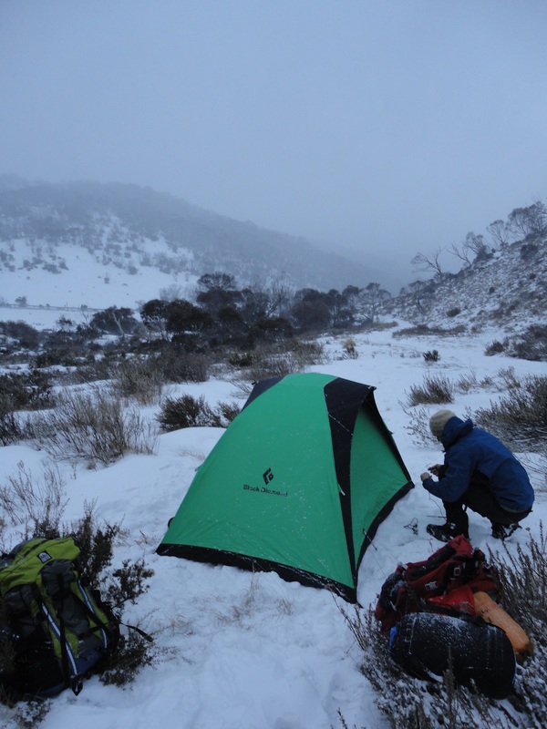
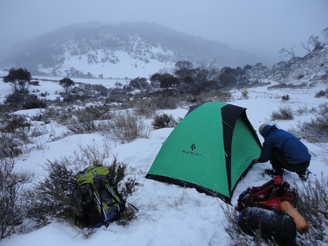
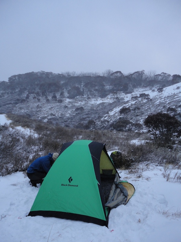
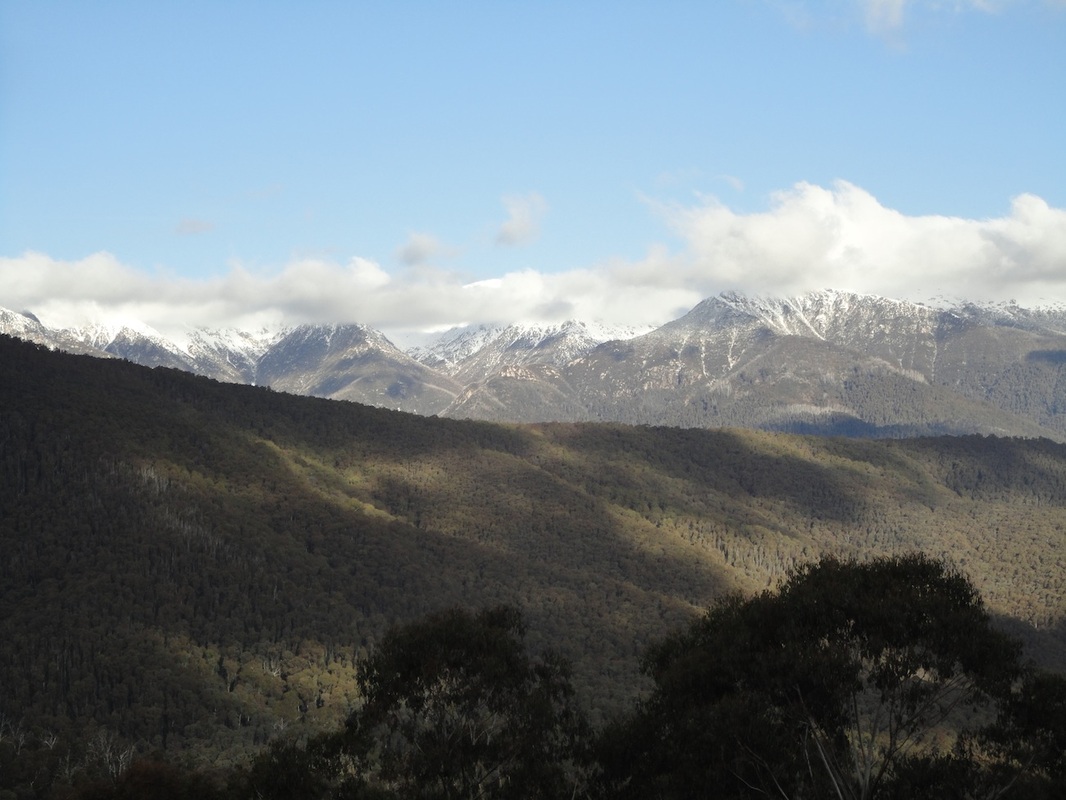
I couldn't be bothered writing a post for this trip, and John (who will thru hike the AAWT in November) has written a better one than I would've anyway, so I've copy and pasted the post that John wrote on his blog - link at bottom of article. I was devastated a month back when a mate invited me to do some winter hiking/camping up Mt Bogong, Victoria's highest peak. I already had family engagements interstate so I couldn't go. So you can imagine my excitement when I found out he went elsewhere that weekend and was in fact going up to Mt Bogong last weekend. I was stoked. At 1986m, Mt Bogong is placed amongst Victoria's premier ski fields in the Alpine National Parks. There are a couple routes up to Bogong peak but the most direct and difficult route is the Staircase Spur track. Sam is an experienced adventurer and I have been tracking some good work recently so we were really keen to give the Staircase Spur a strong effort. No slacking! Having left home at 4am and arriving at the car park around 10am we were ready to get stuck into the mountain. The car park is located at about 360m so the overall climb ahead of us was around 1625m over an 8km trail. At the low altitude the thermal underwear was a little over kill but we knew as we ascended they would come in handy. It was still a pain to be climbing and sweating like mad. I had to remove my glasses as they were useless with all the sweat. About an hour and a half walking along your standard dirt and rock trails we started to get into the snow. We came across a Scout group descending that had gone a distance ahead but had now given up and were returning as the sunny day was melting the snowy tree tops and they had been struck with large chunks of falling snow. We laughed and continued. Wasn't so funny a half hour later when we copped a couple ourselves. If was fairly entertaining though as you would hear some of the big ones crash right beside you and you'd think to yourself....that would have stung. By this time we had already stripped off the jackets and light jumpers we had departed with and were down to t-shirts. Cold wet snow falling 30m onto flesh wasn't devastating but there was a certain sting to it! Below you will see the swollen result of a large chunk of snow crashing onto my left bicep.... or is that always how my arm looks! Anyways... As we continued to ascend the snow cover continued to thicken so we finally decided to strap on the snow shoes. Honestly this was the perfect day for a winter hike. The sun came out, there was barely a breeze and the snow was fresh powder. The Climbing didn't get any easier. As we edged closer to the summit the rate of ascent increased dramatically and the weather dropped degrees and visibility virtually in minutes. The below photo is Sam blazing the trail. We could see on the opposite peak (when the sky cleared) a number of other people backcountry skiing. By this stage I was cooked. Sam seemed to still have plenty in the engine, no surprises there. I was following in his tracks pretty closely and as we could see the summit and started our final climb I noticed his tracks, and also mine that followed became shorter under foot. In other words, each step was really only 6-8 inches at a time (I was getting pretty tired and so my steps were getting shorter & shorter - Sam). The weight of our bodies and packs and the aggressive incline just wouldn't allow regular steps. Inches at a time we ground our way to the summit. The summit was blowing a gail and the temperature was really cold now. Keep in mind we had stripped down to t-shirts and were sweating so much that we didn't want to put on thick layers as we climbed so we only had our outer shells over t-shirts. We spent the first 5 minutes on the summit getting dressed appropriately...which involved taking off the jackets to get the layers on underneath... Cold, oh yeah! But we made it! The photos at the top makes it worth the journey. Sam still had energy to climb the ice block, I was happy to just be standing. Good on yah Sam, like I said.... your a champ. At first I had a thought of camping right there. The wind was just cutting right through us so we decided to head down a peak or 2 and hope for clearer conditions. So glad we did. We had great view back toward Mt Bogong peak, a Sunset that stayed with us till about 7:30pm which is easily an hour later than normal and overall just really great conditions for camping out. As we made some food and set up camp the thermometer read -11 degrees .... which we thought was probably off by a couple. Didn't feel a degree colder than -10 ! While preparing dinner we took some photos, had a good chat and enjoyed our surroundings. As night fell there was really no reason to stay up and later than we needed too. So with the sense of accomplishment and delight in the day that had been we closed up the tents and tried to get some sleep. It got colder through the night but we both are alive to tell our tale. I had looked at the thermometer on the back of my emergency whistle and it had read about -11 degrees celsius just after dinner. We didn't think it was quit that cold at that stage of the evening but by 4-5am the following day we felt every degree and there is every chance we got down that low. My -5 sleeping bag plus silk liner had never left me cold before but that night I got out my $1 emergency blanket out of the first aid kit which kept me warm. So the sun came up and we unzipped the tents ready to finish our weekend expedition. When talking with other backpackers a topic of conversation always turns to food and cooking. What stove & fuel do I use is a common question. Typically met with "yeah but in the cold and at altitudes that won't work". So this trip was also about testing some things out for myself. I had bought a Trangia burner for the AAWT adventure based on the recommendation from blogs of hikers who have done the trail. So this weekend was the test. Did it light the same, did it cook fairly conveniently and was it generally similar to all lower altitudes and higher temperatures? I found it a little harder to light but used about the same fuel ..... so don't see what the big deal is with these other blokes! The AAWT won't be this cold and although we get up to this elevation at times I hardly think its an issue. So morning breakfast was 2 sachets of warm Uncle Toby's Oats, Brown Sugar & Cinnamon with a swig of water and I was ready for the day. Packing up is always a great feeling. You know you ate and burned a little fuel so you are going to be a little lighter, and you know your pack won't be busting at the seems as you have a little less stuff to pack in there. We started heading down about 9am. It wasn't long before we came across the dozen skiers we had seen the day before. They were trekking back up for another day on the untouched slopes. I would have thought they'd be a little disappointed this day as the night had really crusted up the fresh snow of the day before so wouldn't be a perfect...... I mean the day before was just unheard of beautiful conditions so pretty hard to back that up 2 days in a row. So we flew down the mountain pretty quick. Going down hill in snow shoes is a little less simple than trekking up the mountain but still I was grateful to have them. We passed a hiker coming up the Eskdale trail without them and he even commented that "it looks like I'm gonna regret leaving them in the car". We agreed! Just to make him feel better. About an hour down the mountain we took off the snow shoes as we were gone to the raw soil again and started to peel off the layers of clothes again. Who are these 2 posers! The drive home allowed some reflections whilst driving. Yes, don't eat yellow snow! But also I need to get lighter for the AAWT. I need to keep looking for ways of carrying smarter stuff not more stuff. My cooking set up is fine, no need to make any adjustments. The clothing I had planned to wear for the AAWT is over kill. I will definitely not need so many layers, I was warm at -5 or -11 whatever it may have been which is easily 10 degrees colder than I will come across in November. So a heavy layer can stay at home, I will have enough with me even if it does get to 0 degrees. My fitness is good so just keep maintaining the physical exercise & I will be primed for the big event. And SPOT works. I had borrowed a friends SPOT tracker to see how it functioned. This is a GPS tracker that allows friends and family to follow my progress online through a web interface. To view the trail Sam & I did for this Mt Bogong trek click the below link which will take you to the SPOT page showing our progress. http://share.findmespot.com/shared/faces/viewspots.jsp?glId=0IfpjgOPc9W652tjCXEupmmm05DVpSqYQ A similar page will be set up for the Australian Alps Walking track in November so stay tuned for the link so you can follow Tim & I for the 40 days. http://oz4adventure.blogspot.com.au/?spref=fb 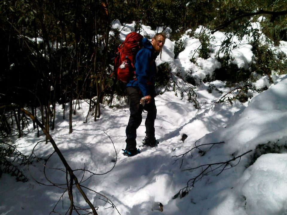 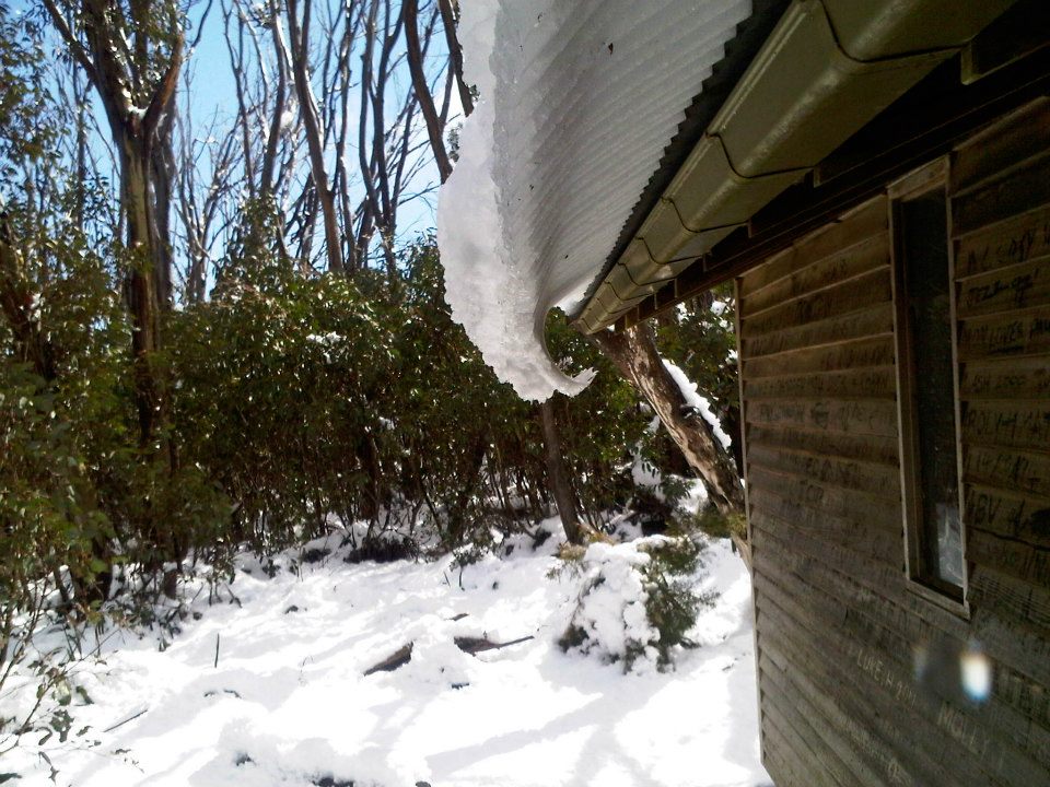 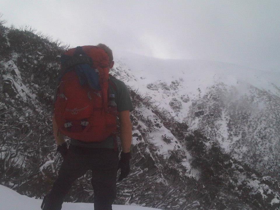 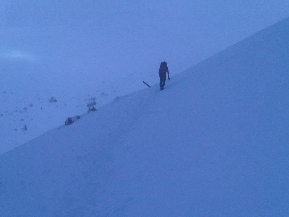 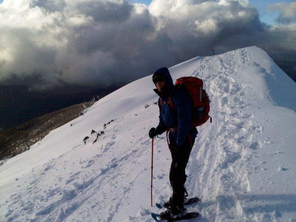 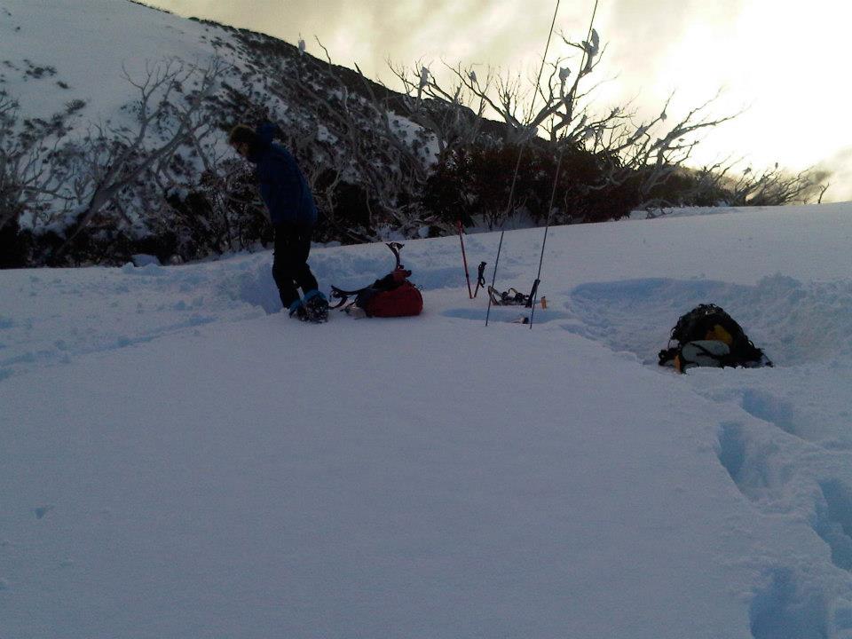 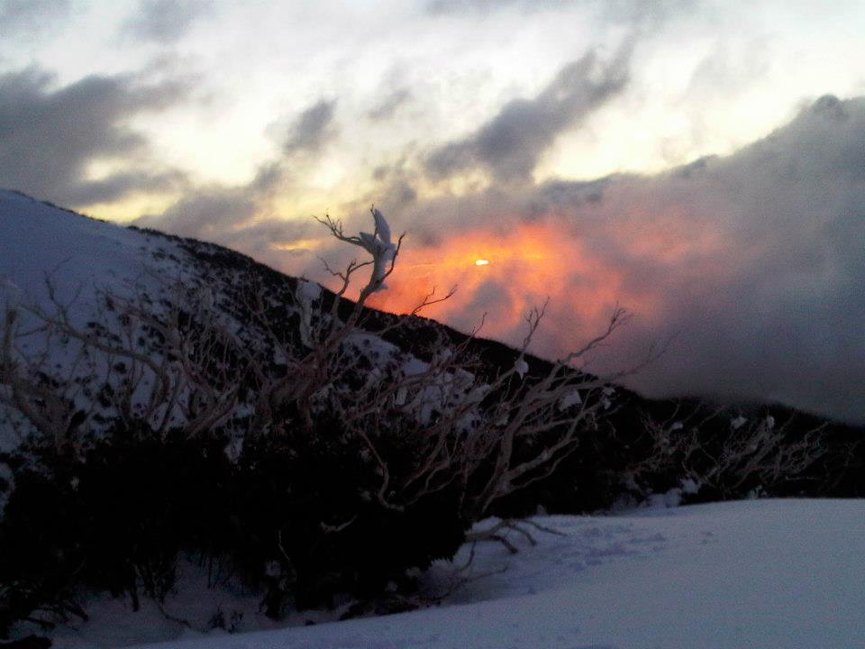     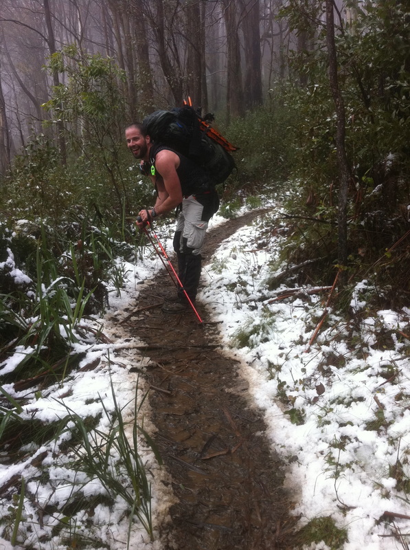 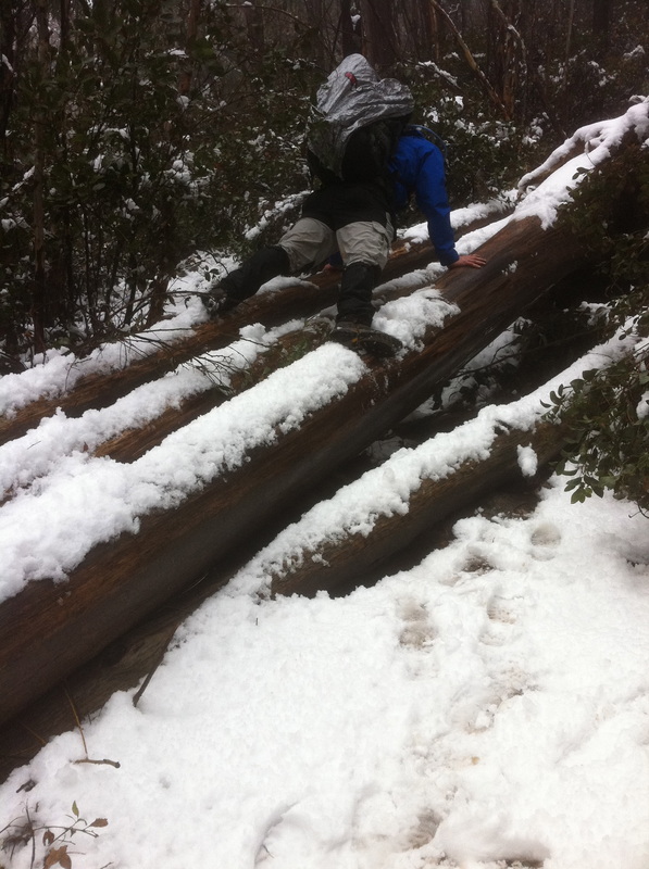 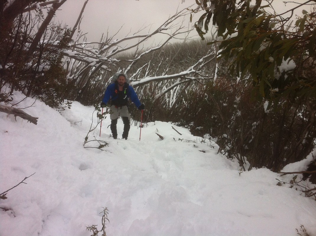 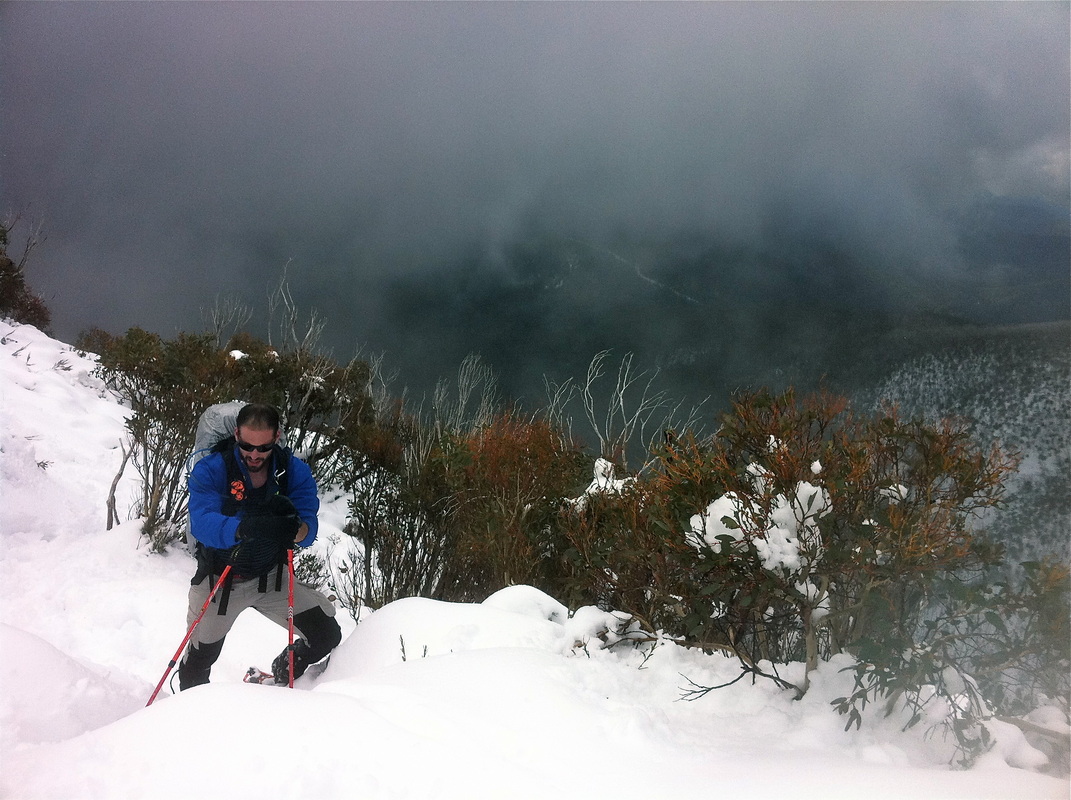   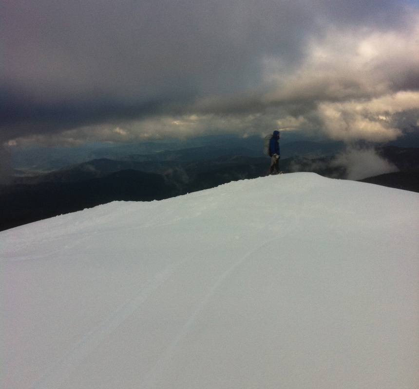 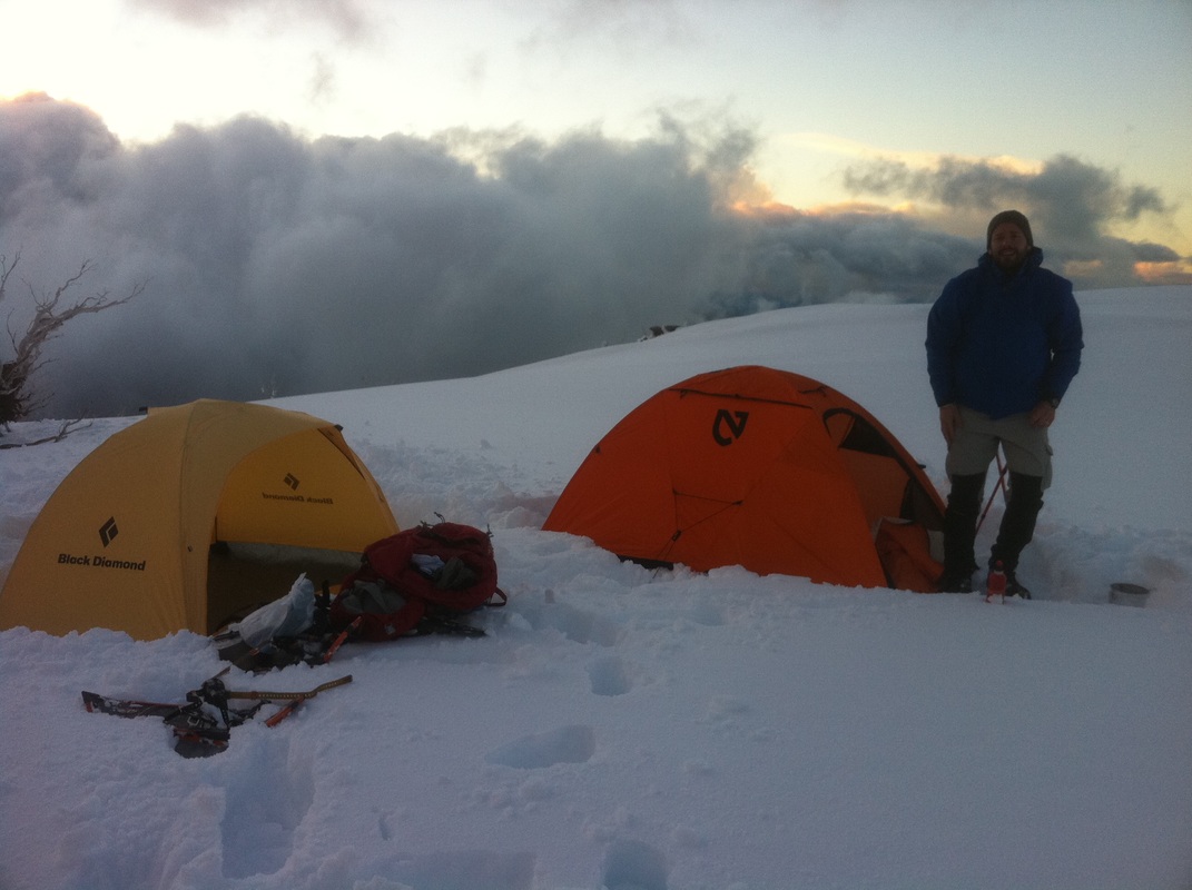  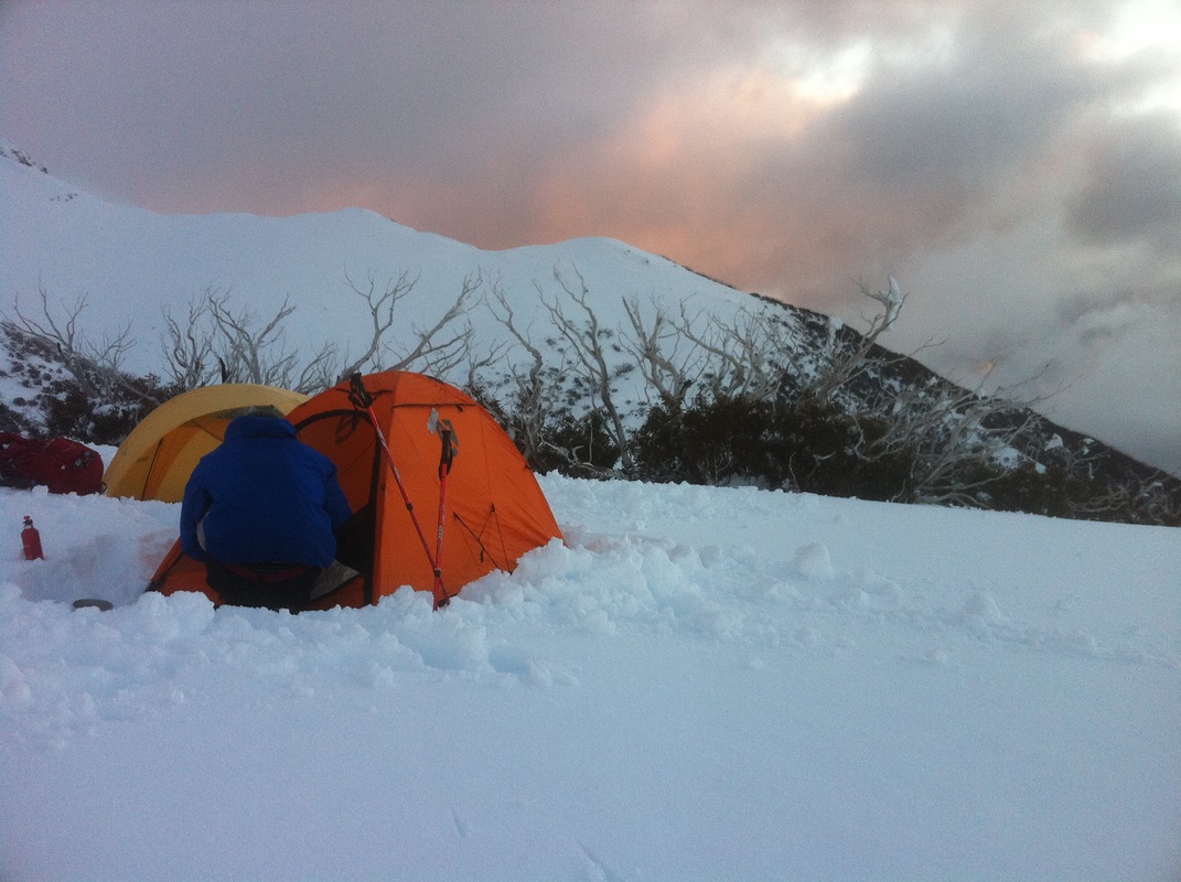 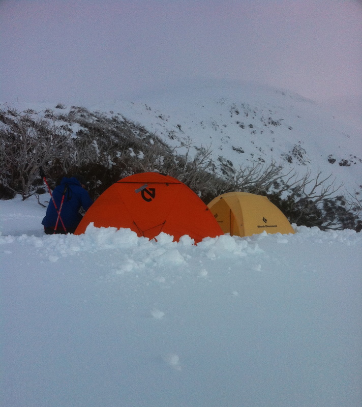 In August last year we hiked the Abel Tasman inland track. The hike took us 4 days and we covered around 60km's over that period. As you can see from the images the track begins at the ocean and traverses a ridge above the coast. The ridge reaches an elevation at its highest point of just over 1100 meters. The night we arrived a storm rolled in, and despite the area being on the northern most section of New Zealand"s South Island the track and the ridge received a dumping of snow that was up to 50cm deep in places. The first day began at an altitude of 0 and climbed a steep trail. By the time we got to a clearing at an elevation of around 600 meters we were surprised to see the snow from the night before. Climbing further we made the first hut where we lit a smoky fire, chopped some wood, cooked some food and hung out our wet things to dry. By the third day, and after having already hiked and climbed for several days through snowy icy forest and grassy alpine plains my knees began to swell up and it felt as though bone was grinding on bone (it reminded me of when I had to quit soccer in my teens because the pitches were just too hard for my knees to cope). Because of this we cut the hike short a day and hiked back out to the coast. On the coast we found an unmanned hut and called a ferry service to come and pick us up. After only an hour or two the ferry arrived. Speeding along the coast, bumping over the waves and spotting seals bobbing near the rocks we sadly realised that this was our last NZ adventure for this trip. Despite the sadness we were still on a high at the incredible beauty that we'd witnessed in our short time here... and we promised each other we'd be back again for more (with some super potent sand fly killing spray!!). In August 2012 we hiked to the summit of Australia's tallest mountain, Mount Kosciuszko, at 2228m. We stopped in the NSW snow fields on our way back to Melbourne after a couple of days in Newcastle. We were not surprised to have to pay to enter the national park, but $27 per car per day was more expensive than expected. We payed for one day and headed into Thredbo. The village was busy and there are specific places to park. Along the road is day only parking, and if you leave a car there overnight you'll be towed. We soon realised there was nowhere to camp in Thredbo so we drove about five minutes out of town and pulled over in the car park for the Cascade Trail. We parked the car and headed a little ways up the track before finding a flat place to set up the tent. The snow was falling and it was very cold as we put up the tent. We went back to the car to cook and eat our dinner as the sunlight faded and snow kept falling. In the tent that night we slept on and off as temperatures dropped to about -5 degrees. We got up early to pack up and head into Thredbo. We planned to hike to the top of Kosciuszko and back that day - avoiding the cost of parking for a second day and the cost of accommodation (night of camping in the snow was enough for me!) I went to the ticket office just as it opened at 8am and purchased to ski lift tickets for the Kosciuszko express, which takes you to the start of the summit hike. The lift tickets cost $32 each for a day pass, despite the fact we were only taking it once. At the top the wind was biting cold and blowing hard. We realised we'd forgotten our proper map and the suncreen but decided to push on. We headed off in the direction we thought the summit was and walked for a couple of hours. Sam was feeling low on energy and we stopped for some food breaks. Eventually we found a hut, the Seamans Hut, and decided to make some lunch. Looking at the basic map we'd brought with us we realised that we'd gone slightly off course. We decided to hike to Rawsons Pass and back out again, disappointed not to reach the summit but lacking energy to get there. The walk to Rawsons Pass started well, but soon we were on a steep section of mountain, without a real path, and slipping on the ice. There was no snow to get traction and we'd left our crampon in the car (with the map, sunscreen and Sam's sunglasses). So we crawled, slid along - sometimes the adrenalin was pumping as I started sliding down the ice. The more I panicked the more I slid, so I had to calm myself and focus on getting across the ice. For about 400m we struggled, using even more energy. Once we got through that section we saw a track of footprints and realised the track to the summit was right there. We were worried about making it back to the ski lift in time for the last ride of the day, at 4.30pm, but it was only 2pm and we'd come this far, so we decided to go up. As we walked the cloud got thicker. The track to the top is quite steep and I had to keep telling myself to keep putting one foot in front of the other. I tried to walk in the footprints of others to save the energy of sinking so far into the snow with each step. At the top we couldn't see anything, but it felt good to be there! The walk up the final section to the summit had only taken 20 mins. We didn't stay long, and headed back down. As we neared the bottom the clouds cleared - if we'd stayed just five minutes up the top we would have had great views! The walk back to the ski lift was difficult because we were out of energy. It took about an hour of trudging through deep snow, then slipping on the ice, alternating so that you could never really get a rhythm to your steps. It was a great relief to make it back to the ski lift (although I had my worst fall on the ice just before I reached it!) and made it back to the village. It had been about seven hours of difficult walking in the snow, ice and wind, but we'd done it. I just wish I had remembered sun screen - the sun and wind burn on my face was red and painful and looked and felt horrible for days afterwards! |
Hiking blogSome thoughts and pictures from some of the hikes we've done. Archives
May 2020
Categories
All
|


 RSS Feed
