|
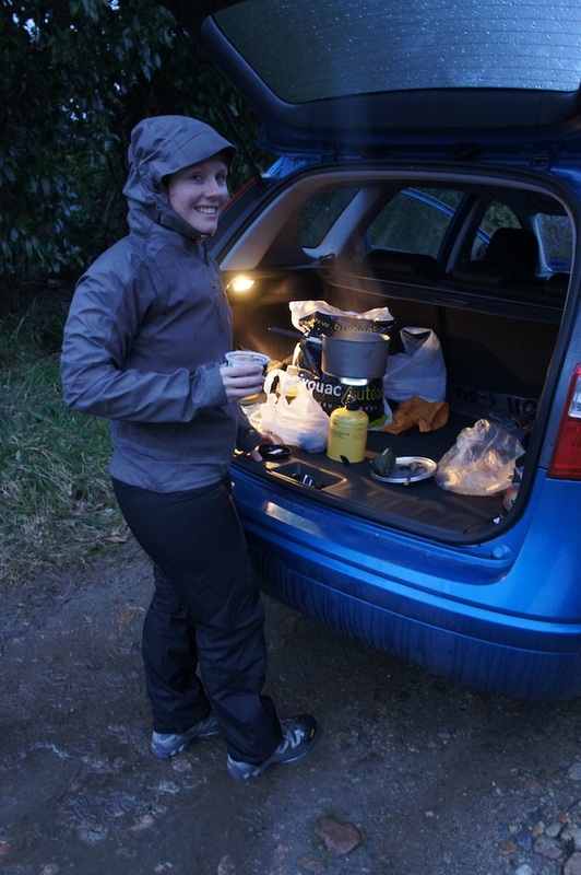
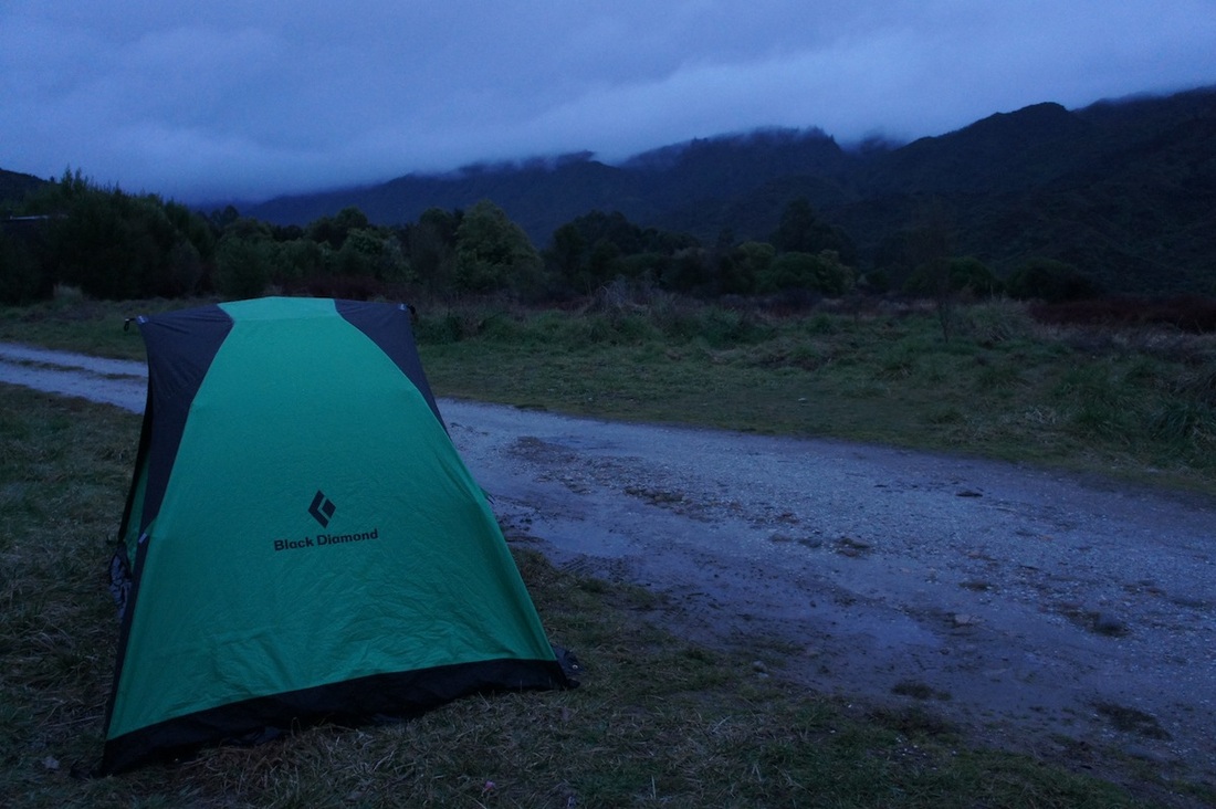
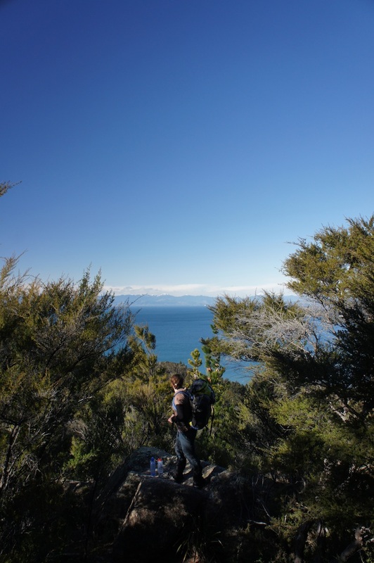
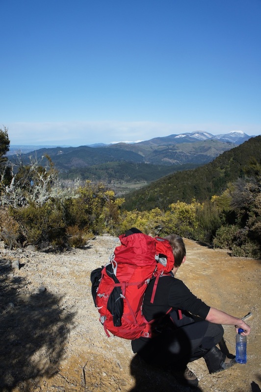
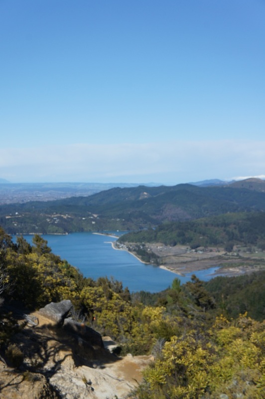
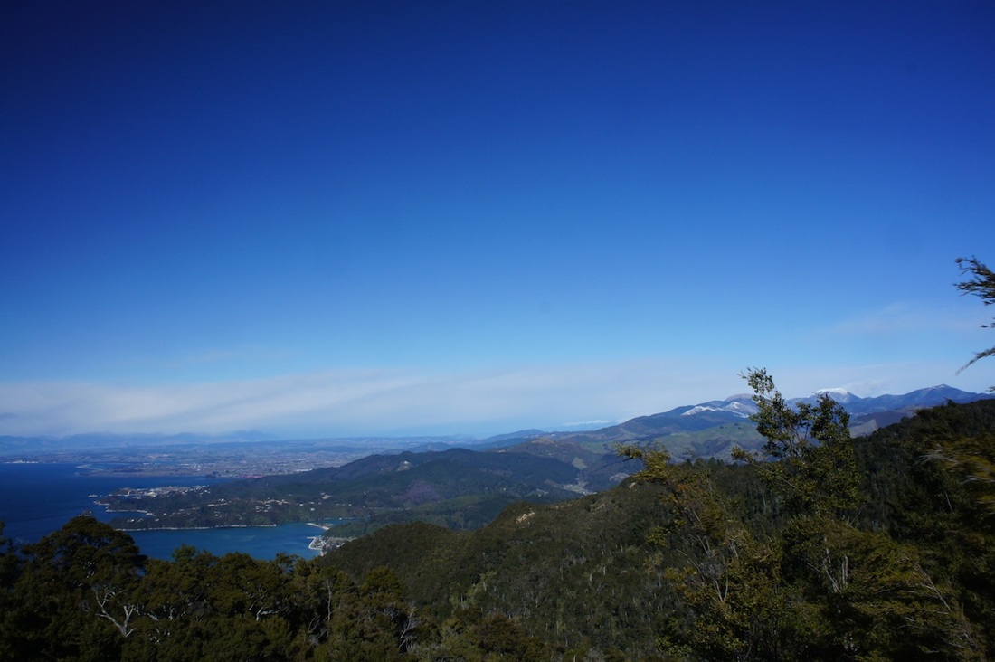
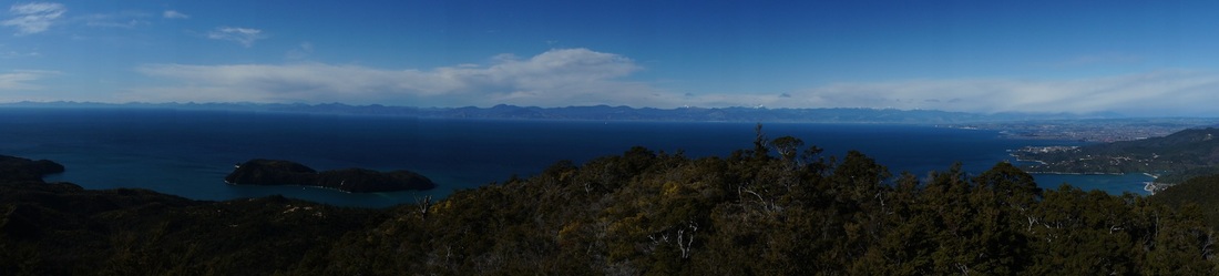
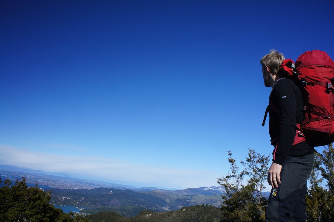
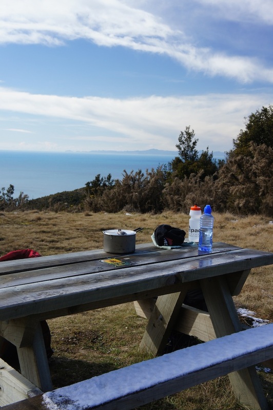
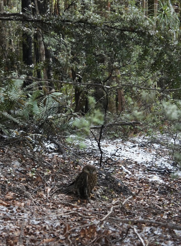
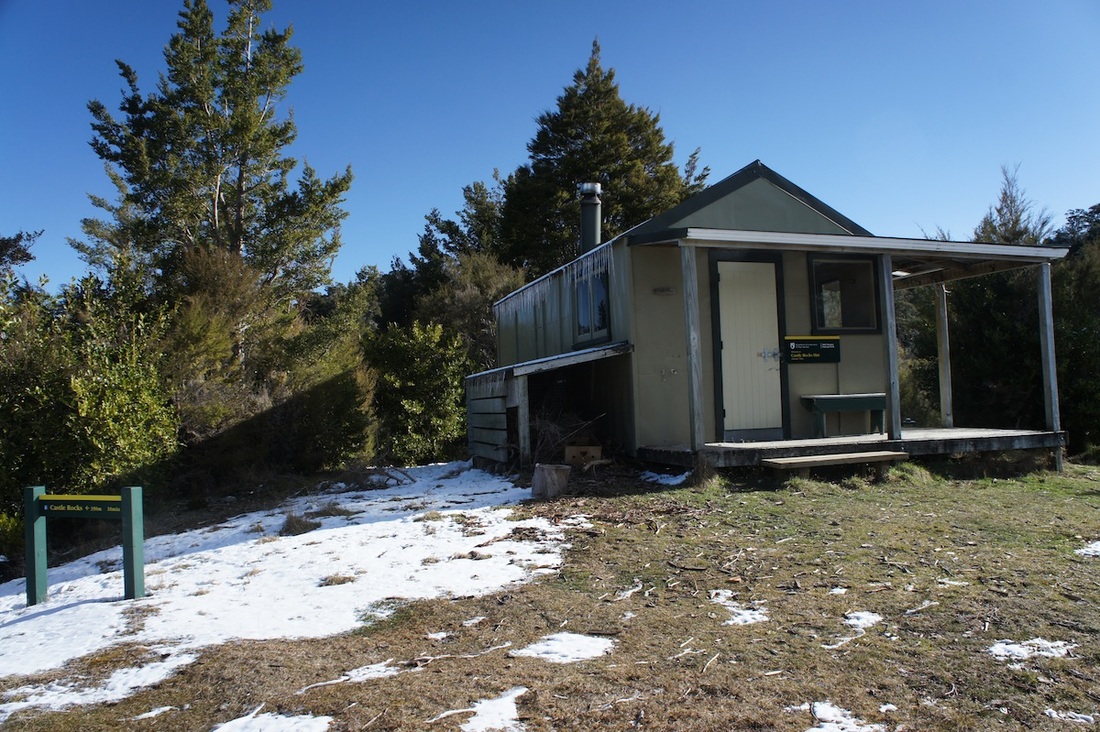
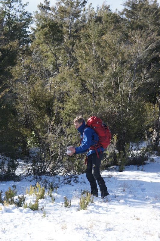
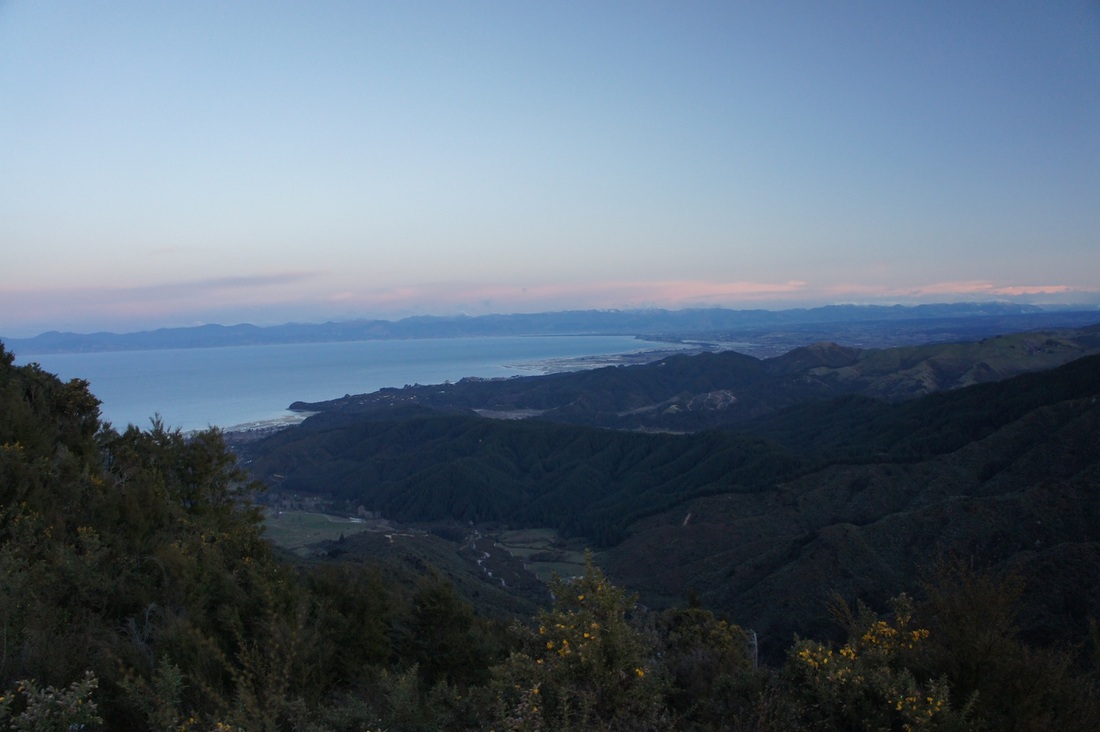
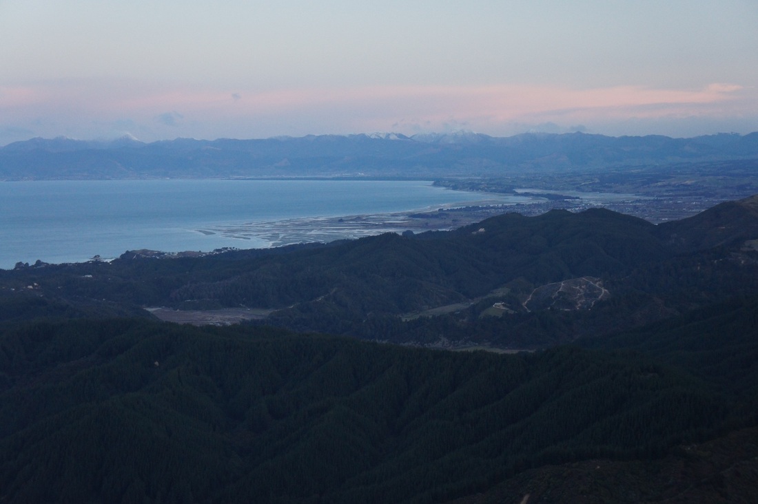
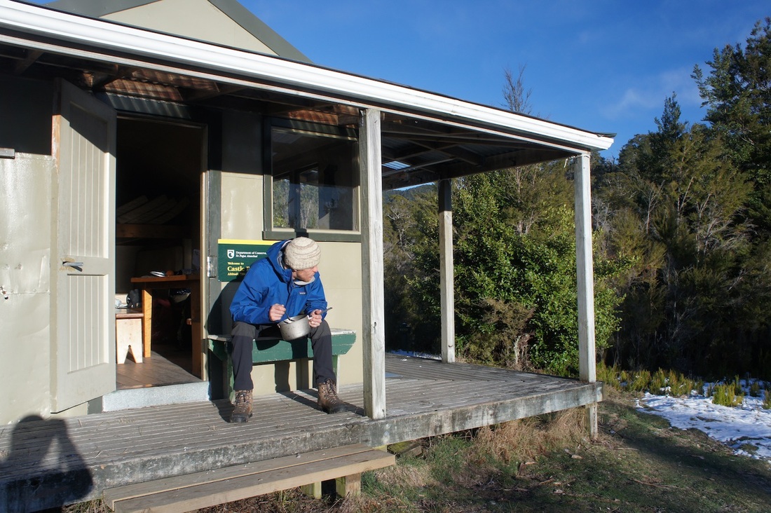
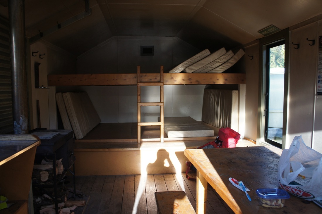
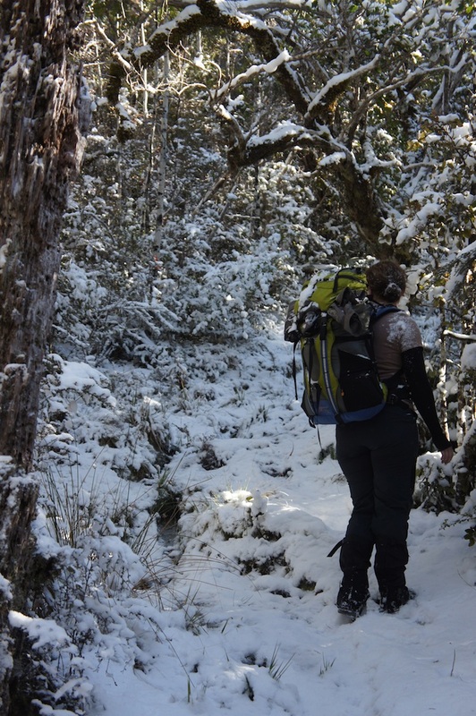
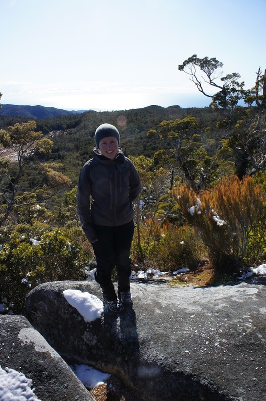
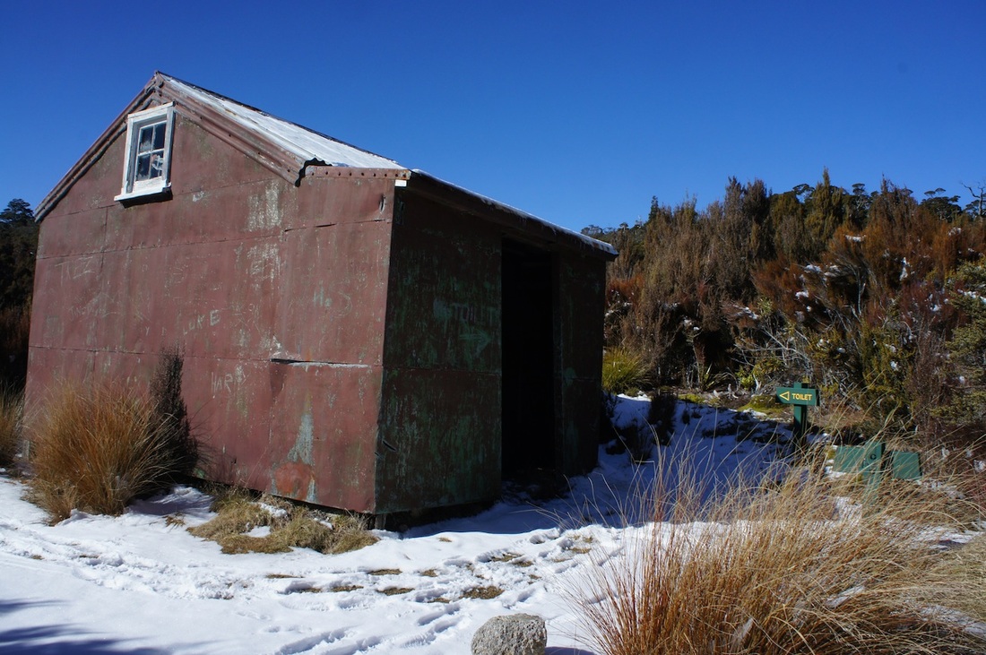
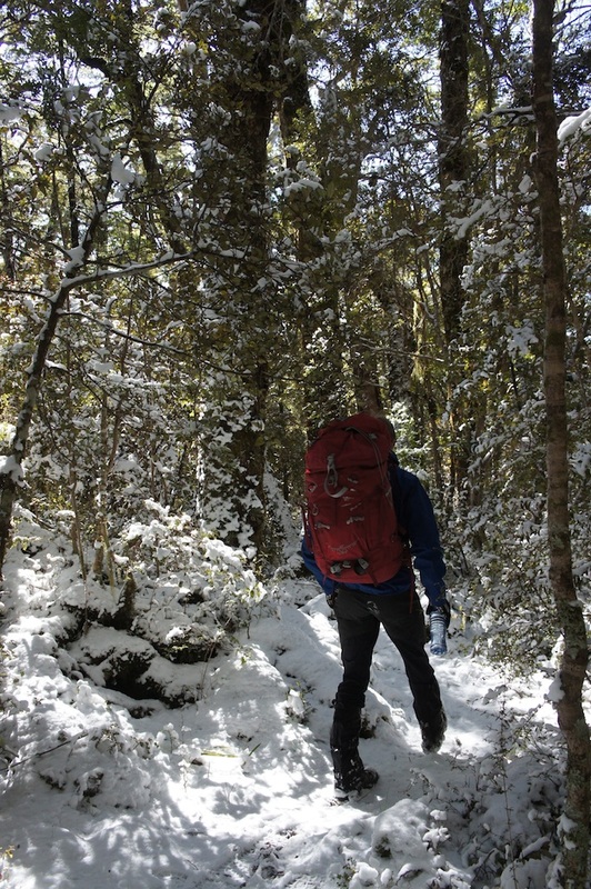
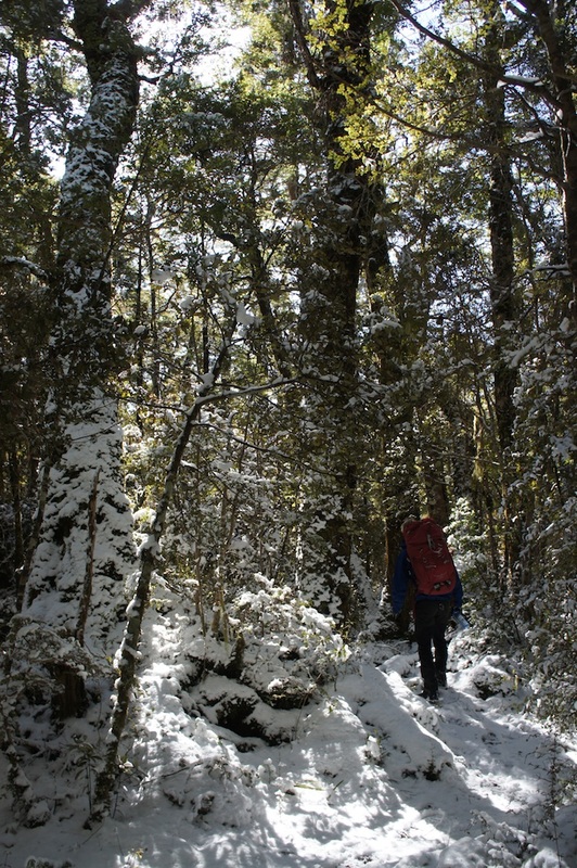
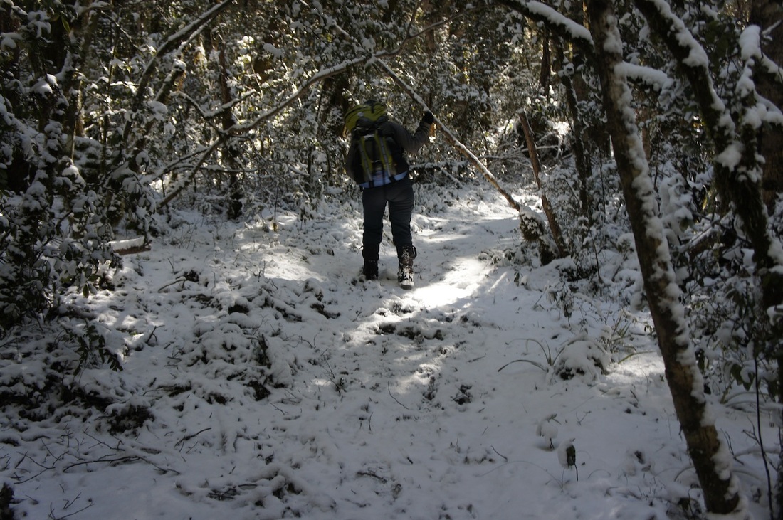
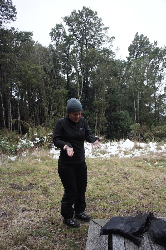
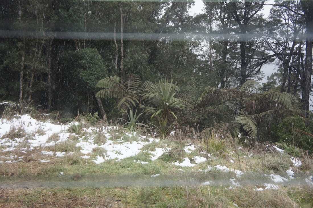
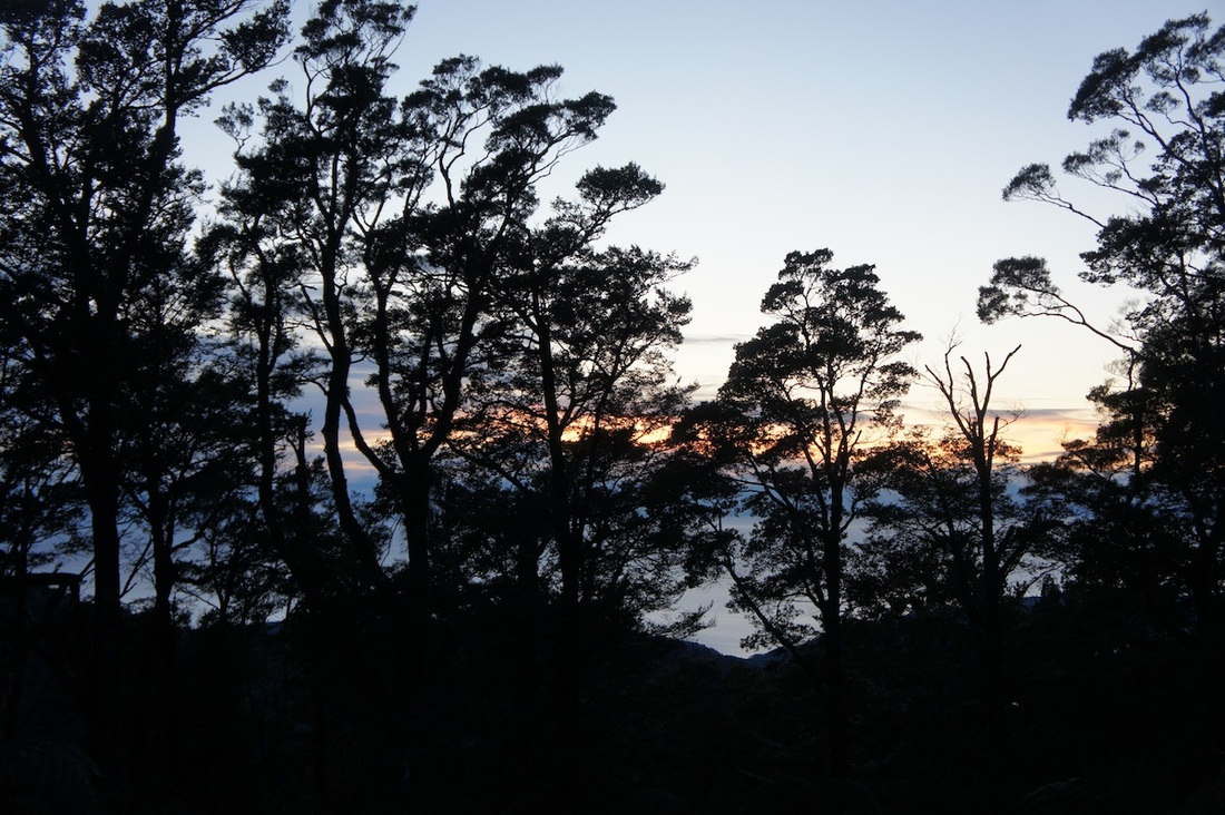
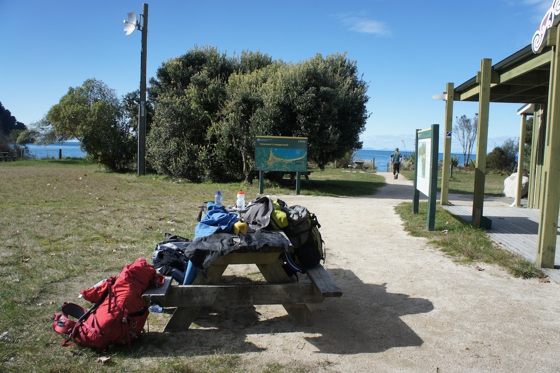
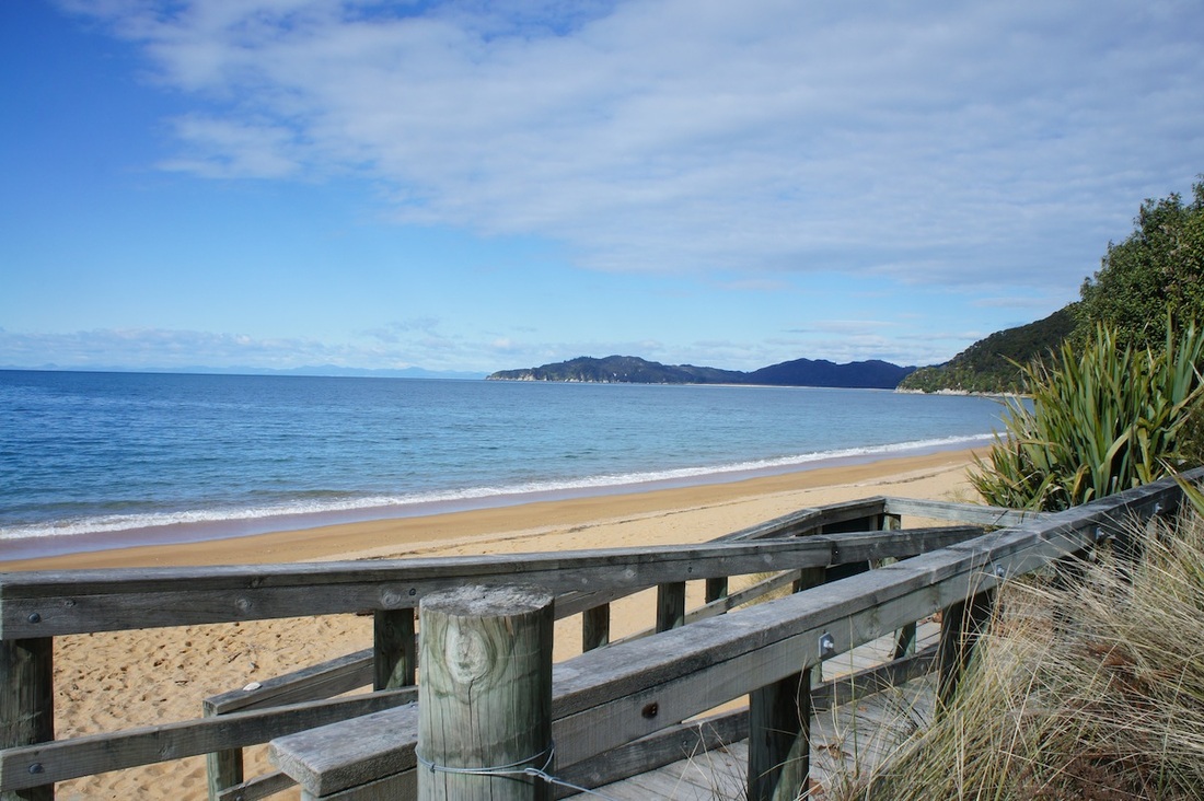
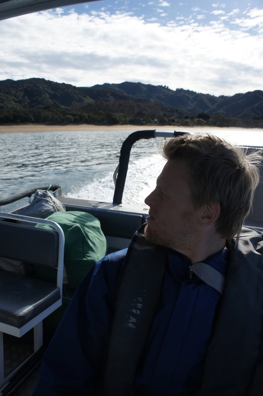
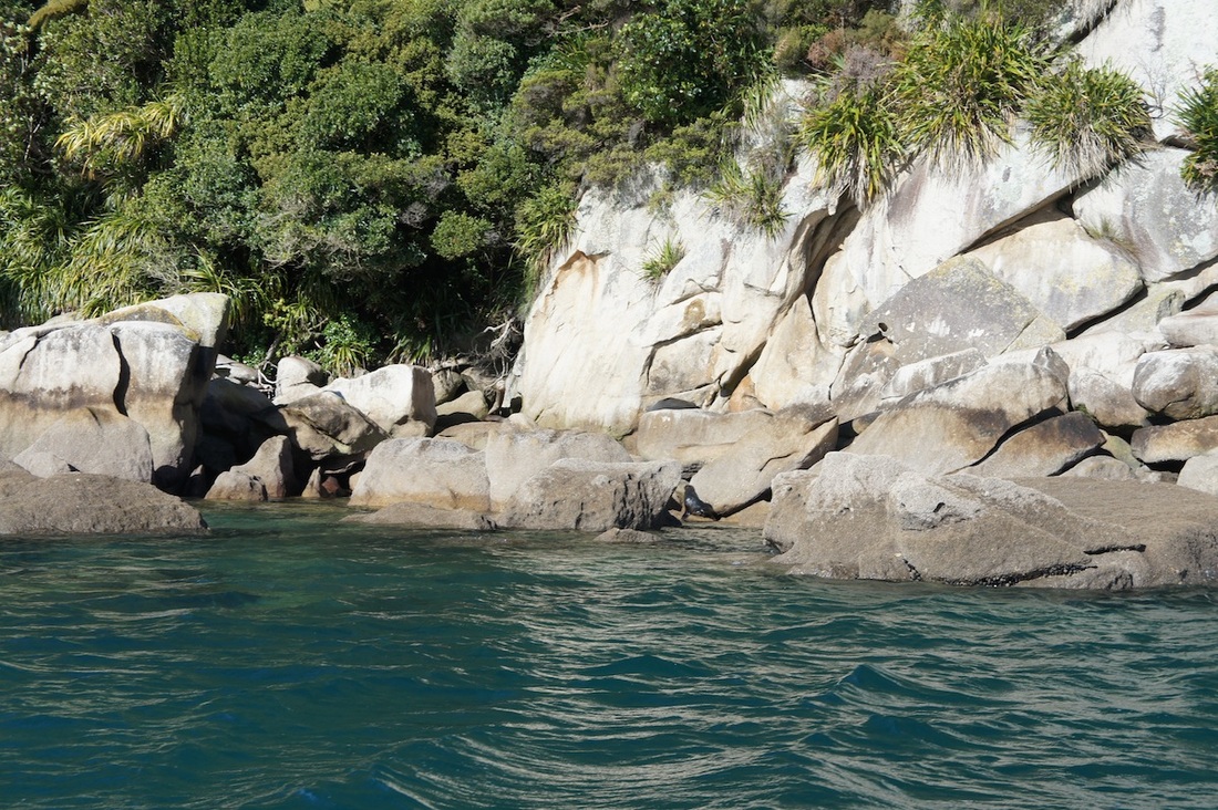
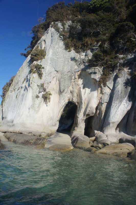
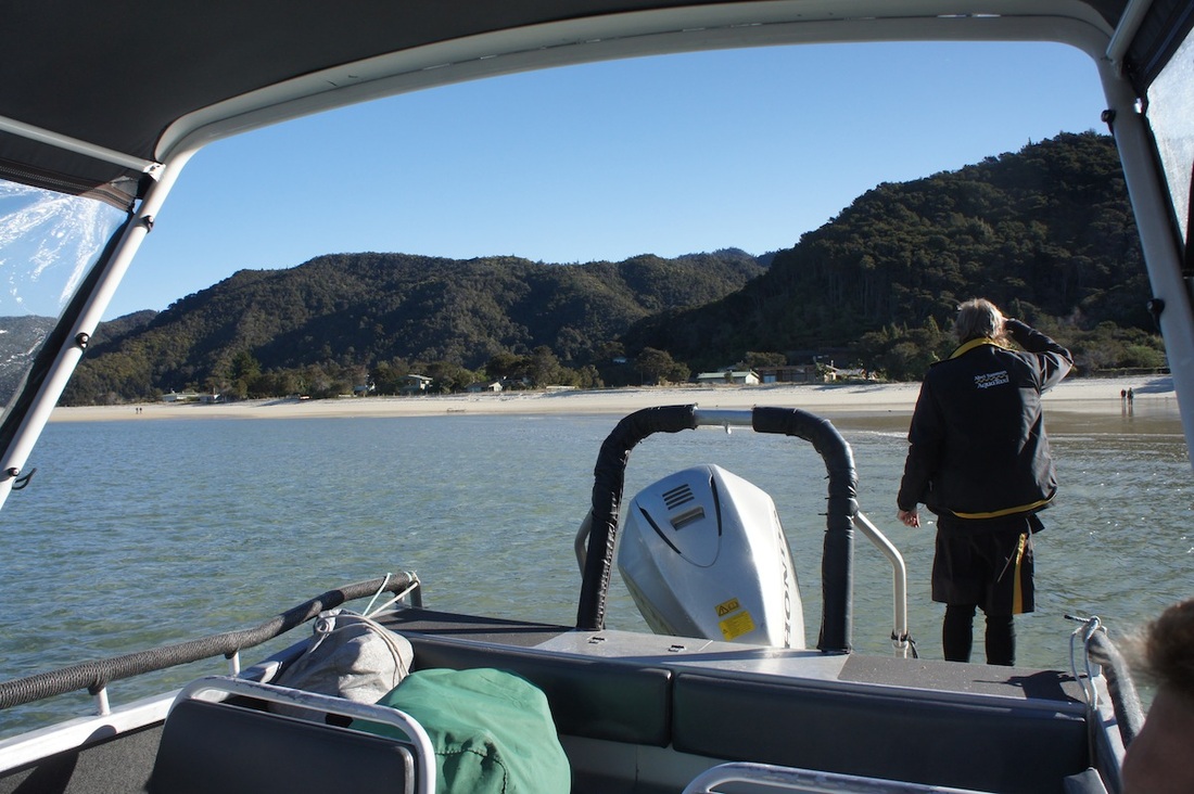
In August last year we hiked the Abel Tasman inland track. The hike took us 4 days and we covered around 60km's over that period. As you can see from the images the track begins at the ocean and traverses a ridge above the coast. The ridge reaches an elevation at its highest point of just over 1100 meters. The night we arrived a storm rolled in, and despite the area being on the northern most section of New Zealand"s South Island the track and the ridge received a dumping of snow that was up to 50cm deep in places. The first day began at an altitude of 0 and climbed a steep trail. By the time we got to a clearing at an elevation of around 600 meters we were surprised to see the snow from the night before. Climbing further we made the first hut where we lit a smoky fire, chopped some wood, cooked some food and hung out our wet things to dry. By the third day, and after having already hiked and climbed for several days through snowy icy forest and grassy alpine plains my knees began to swell up and it felt as though bone was grinding on bone (it reminded me of when I had to quit soccer in my teens because the pitches were just too hard for my knees to cope). Because of this we cut the hike short a day and hiked back out to the coast. On the coast we found an unmanned hut and called a ferry service to come and pick us up. After only an hour or two the ferry arrived. Speeding along the coast, bumping over the waves and spotting seals bobbing near the rocks we sadly realised that this was our last NZ adventure for this trip. Despite the sadness we were still on a high at the incredible beauty that we'd witnessed in our short time here... and we promised each other we'd be back again for more (with some super potent sand fly killing spray!!).
2 Comments
Leave a Reply. |
Hiking blogSome thoughts and pictures from some of the hikes we've done. Archives
May 2020
Categories
All
|


 RSS Feed
