|
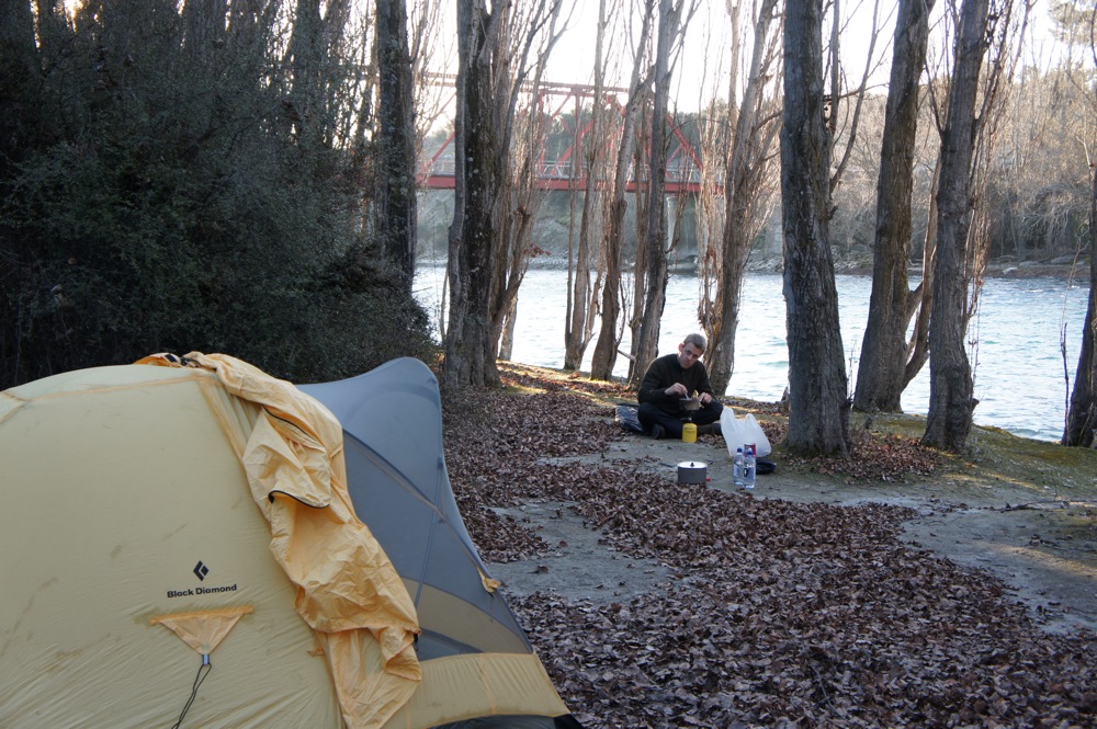
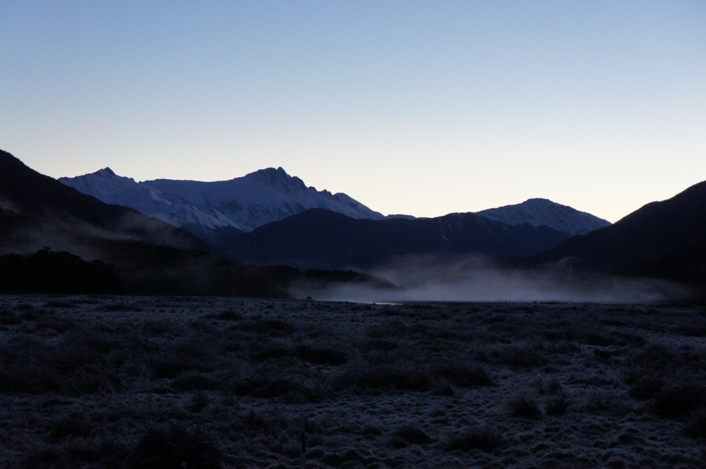
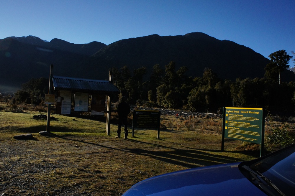
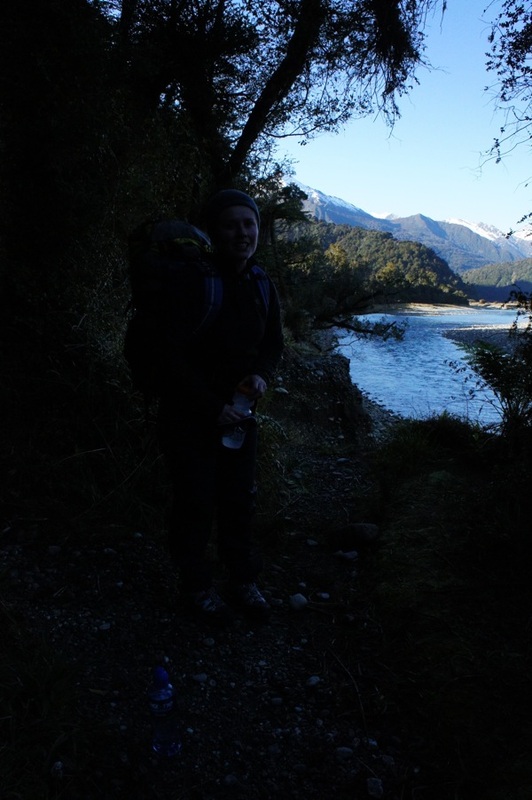
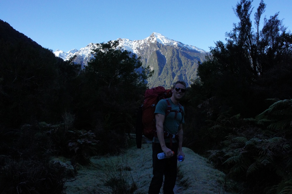
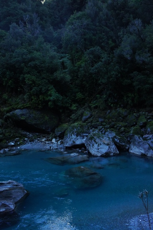
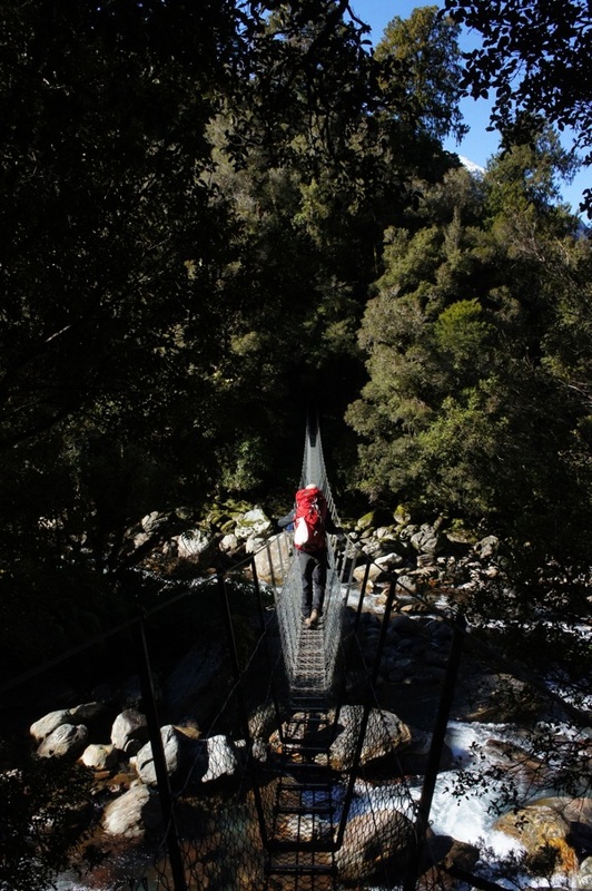
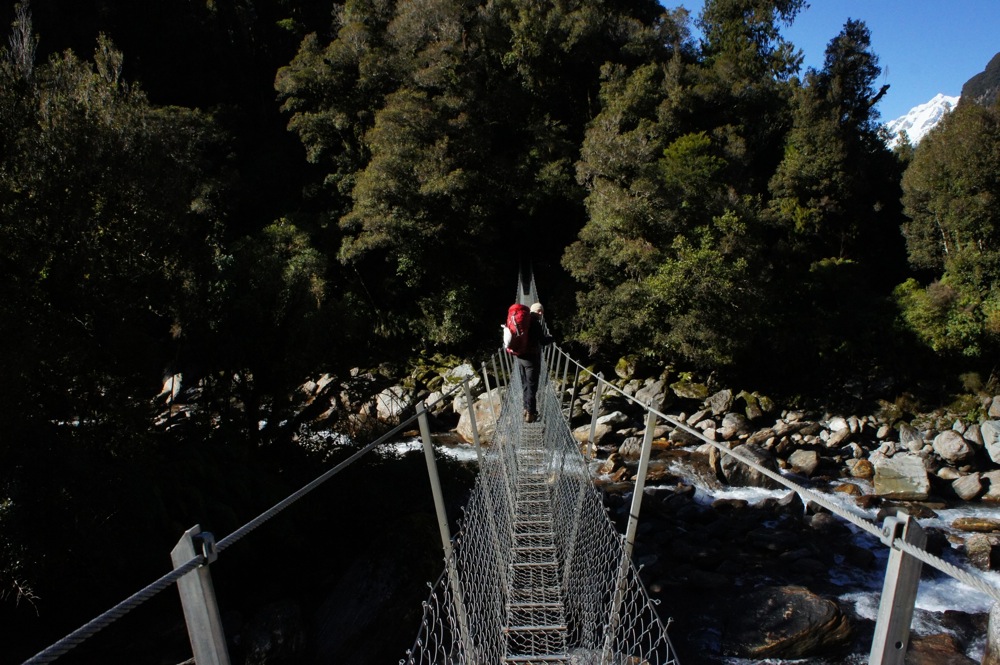
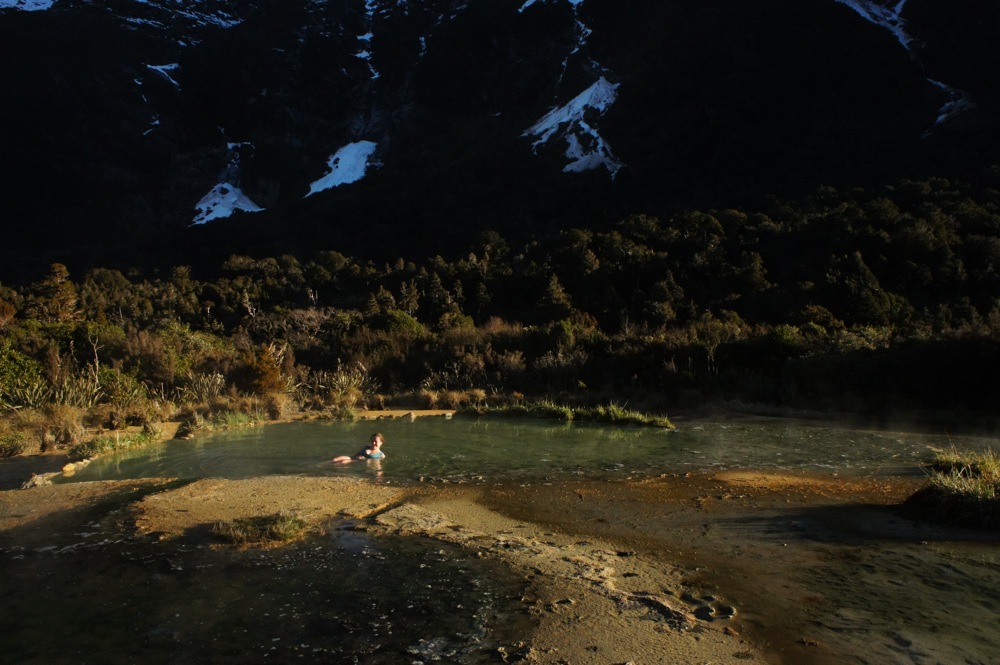
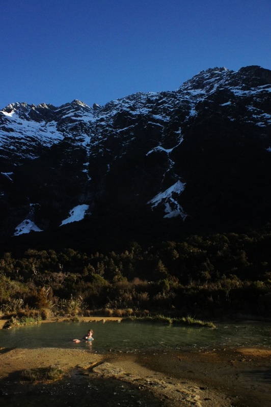
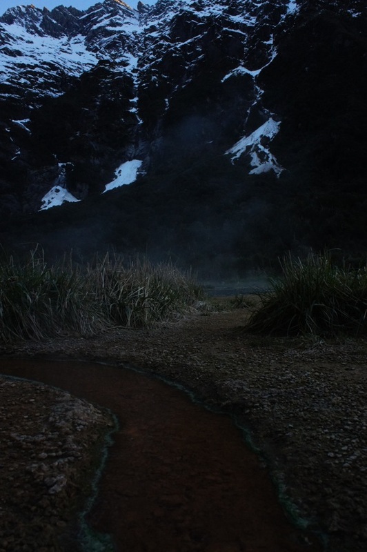
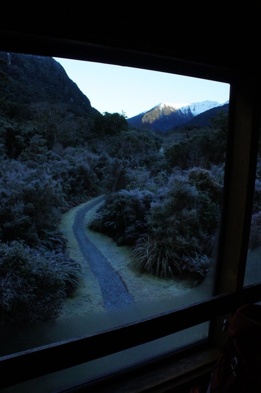
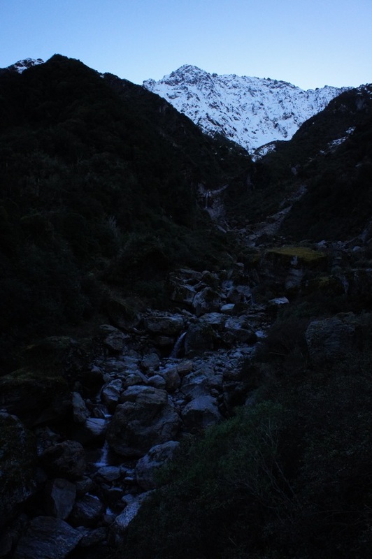
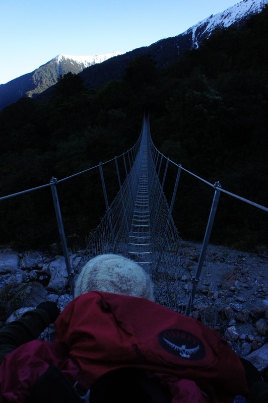
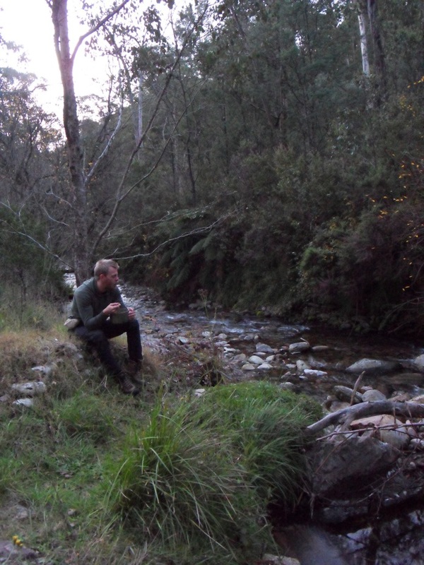
In August 2011 we spent two weeks in New Zealand, primarily on the South Island. One of the tracks we did while we were there was the Copland Track to Welcome Flat. We decided on this one lured by the promise of natural hot pools at the top. The night before we started walking we camped overnight next to a river about two hours from glacier country. The temperature dropped below -5 degrees and it was one of the coldest nights of my life! We made an early start before dawn to be able to walk the Copland Track that day. The track starts about half an hour south of Fox Glacier. Just north of the Karangarua River bridge the Copland Valley is signposted and a small side road leads to a large parking area. The first thing you have to do is cross Rough Creek. It was running pretty low when we were there and we easily walked across. Although there is a flood bridge 45 minutes upstream if you can't cross Rough Creek it's unlikely the other creek crossings will be safe. After crossing Rough Creek, the track continues at the orange marker and follows a well formed path through the forest. The track is marked across open areas and river crossings by orange triangle markers on trees - they are usually pretty easy to see. There are a couple of spots where you have to keep moving due to the risk of rock falls, and we did hear a couple while we were walking, but overall there wasn't too much srambling and it's not too difficult. It is a long walk though, 17km, to Welcome Flat hut and the hot pools. So you need most of the day to do it. The night we stayed there was only the volunteer hut warden, another couple and us. We were glad there was no one else, because even with so few people the hut was echoey and upstairs in the sleeping area you could hear every footstep and whisper downstairs - it must get busy and noisy in summer! We only stayed one night and hiked out the next day. The other couple though were planning to stay a few days and do some day walks in the mountains. We walked out on a Friday and saw three more groups walking in. Even in the midst of winter it's a popular route.
0 Comments
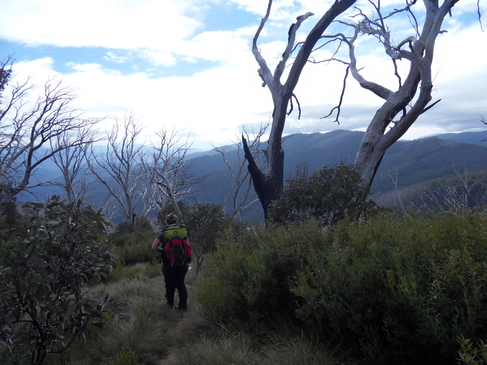
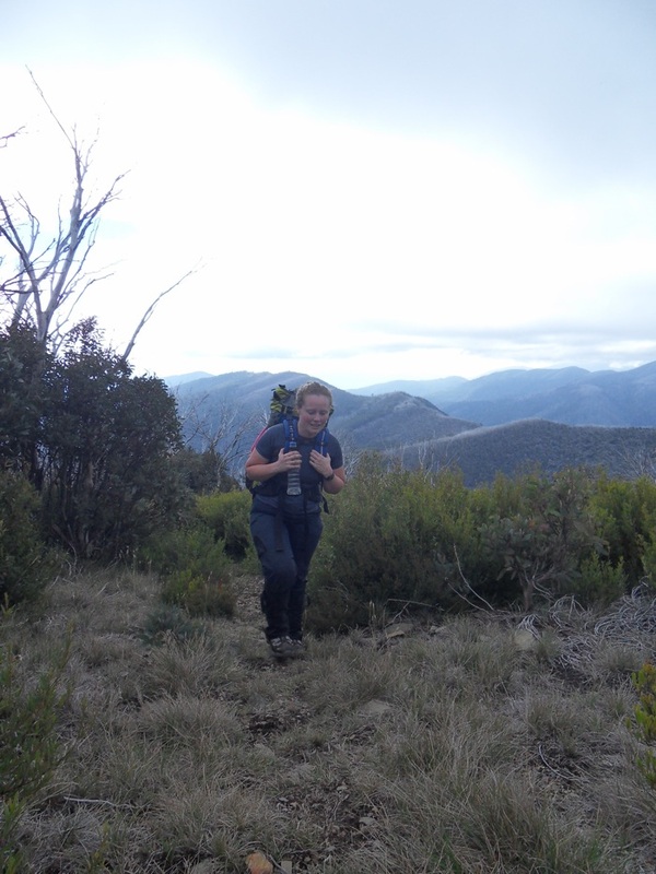
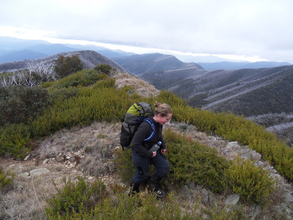
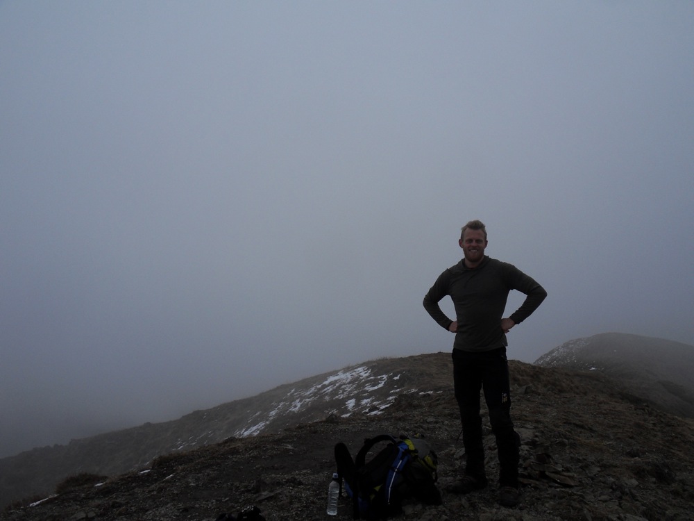
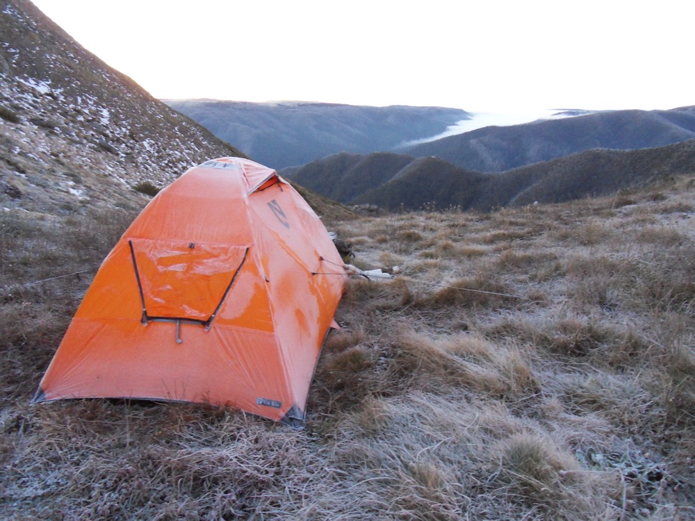
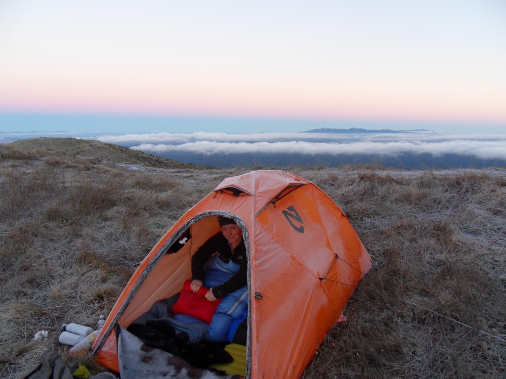
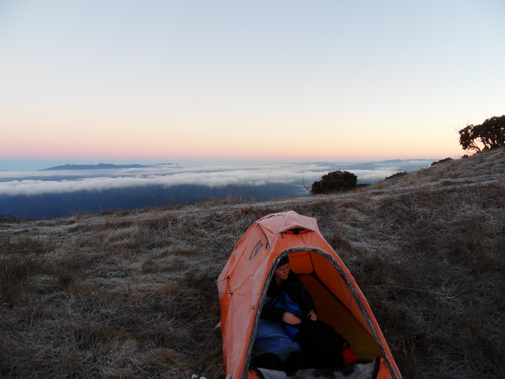
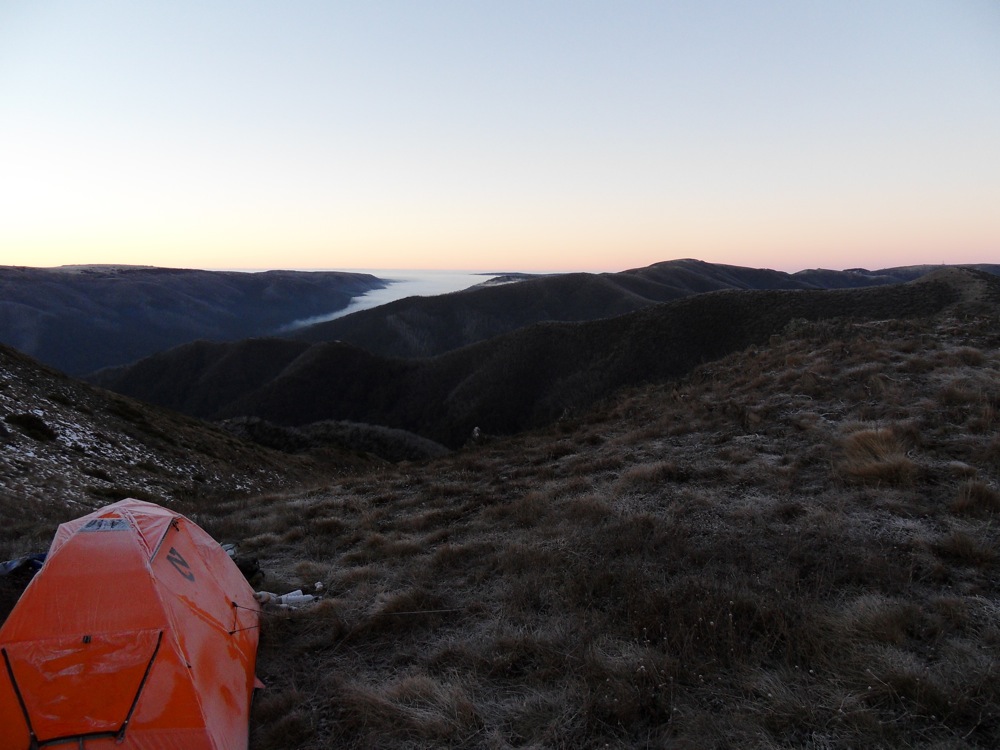
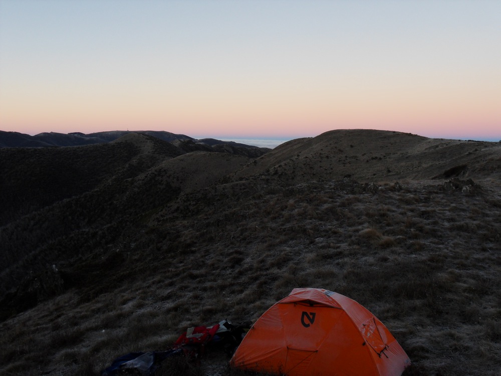
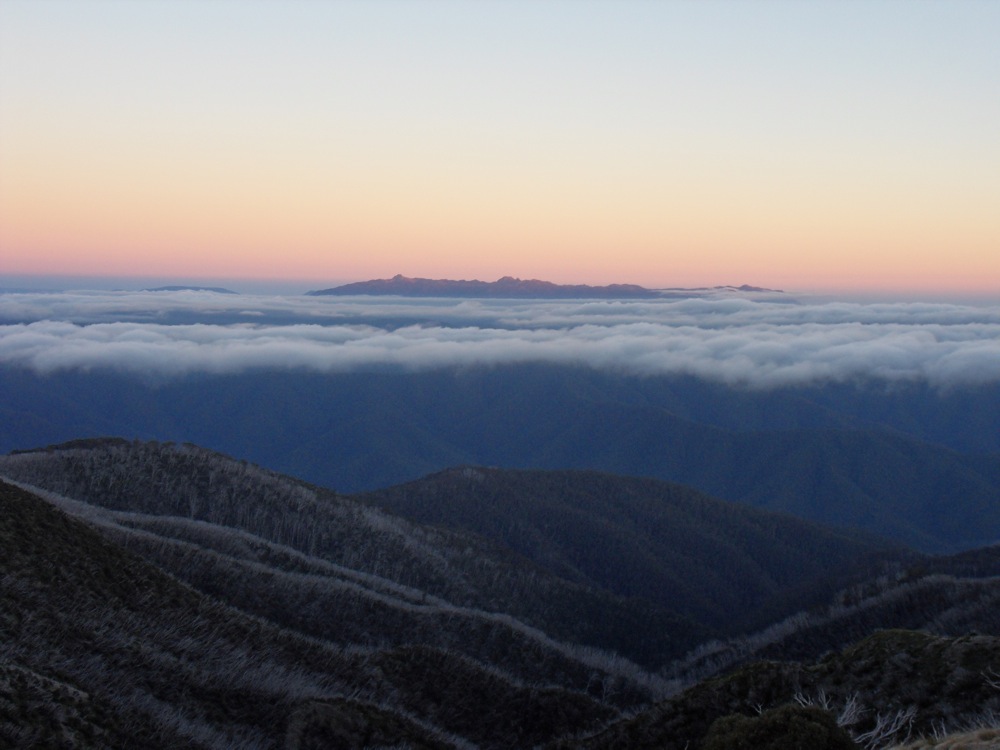
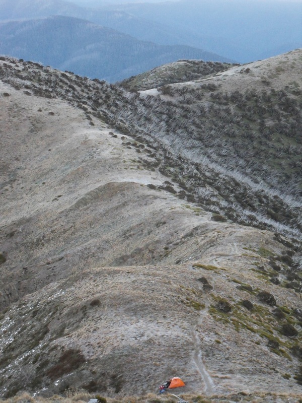
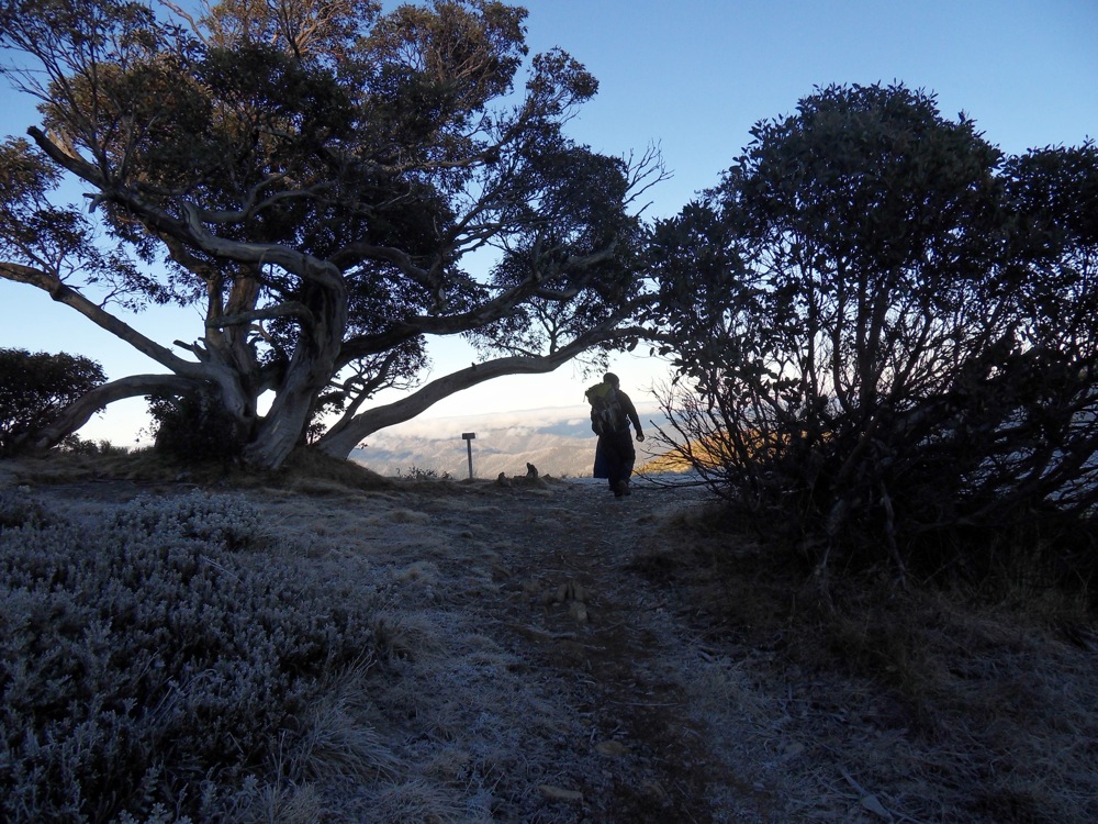
Last weekend we experienced the beauty of the Victorian Alps. Sam has wanted to climb Mt Feathertop for a while and we finally got around to doing it. Our hiking gear hadn't been pulled out for a while but we found it all and spent a week throwing things into the spare room in anticipation. Our main setback was when our dog Boston sniffed out our freeze-dried meals and ate them. On a Friday we dropped Boston off at his holiday retreat, drove four hours to the mountains and Sam dropped me and the gear at the start of the Tom Kneen (NW) track. This is the hardest track to Mt Feathertop - of course Sam wanted to do the most difficult one! Sam drove to Mt Hotham and parked the car, before riding my bike back to the start of the walk. It took almost two hours for him to do this! By the time we'd chained the bike to the start sign it was after 4pm and we didn't have much daylight left. Within the first couple of KMs we were next to a river and it was nice and flat, so we decided to camp for the night and hike in the morning. We had a pretty restful night, the only disturbance being a startled deer. The walk to Feathertop was tough!! On a scale of difficulty, if Mt Agung is a 10, this was about an 8! For hours Sam strode uphill, while I shuffled, stumbled, rested, tripped and eventually caught up with him. The track was very steep, and there were few sections where it flattened out. There was no water along the way up, so we couldn't cook our lunch. I knew I had to make it to the Melbourne University Mountaineering Club hut, where there would be water to drink and we could cook some food. If I could just make it there I'd be ok. After almost four hours of gruelling climbing we made it to the hut. In the nick of time - my energy was almost gone! As we ate, we could see Feathertop. The top was shrouded in clouds - and they were thickening. After an hour rest we started walking again - we were going to the top. It was still a lot of uphill, but I had more energy and it seemed easier. We quickly reached the track to the summit. This part was hard again, but our destination was close. Each rise I thought "This is it!" but then I'd see Sam up ahead on a higher rise. Then I was there. I'd made it! The mist was thick around us, and we couldn't see anything, but we'd made it. Sam wanted to camp on the summit but I was worried about snow. Sam had checked the forcast before we left and said it would be fine, but I wanted to be sure. I pulled out the phone and was surprised to have four bars of reception! I checked the weather - they were now predicting snow. As the wind picked up, I managed to convince Sam to head halfway down the track and camp in a little shallow dip. Late that afternoon it was freezing cold, and the mist kept swirling around, but it didn't snow. We cooked dinner early and by the time the sky darkened at 5pm we were already in our sleeping bags. It was a long night. Sleep was hard to come by. Noises disturbed me. When I touched the outside of my sleeping bag or brushed the wall of the tent I felt icy water. It was such a cold night that our warm bodies and breath were causing a lot of condensation. During the night the mist cleared and the stars shone. After midnight we were warm in our bags and sleep finally found us. The sunrise was spectacular. It was a cold morning, and everything was covered in ice, but the view was exhilarating! Sam snapped pics while I stayed in my sleeping bag and packed things away. We moved to a sunny spot to put things out to dry a bit while we ate our porridge. Then we started the walk out. The Razorback Track was much easier than the NW track, and we maintained a good pace for the morning. In less than three hours we were back in the car - shoes off, faces washed and on our way to Bright for some chicken and chips! |
Hiking blogSome thoughts and pictures from some of the hikes we've done. Archives
May 2020
Categories
All
|


 RSS Feed
